The Bowland
Appearance
The Bowland
| |
|---|---|
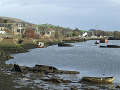
 Bowlin Harbour in 2008 | |
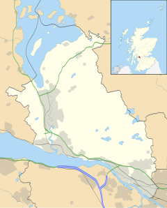
Location within Wast Dunbartonshire | |
| Population | 5,500 |
| OS grid reference | NS445737 |
| Ceevil pairish | |
| Cooncil area | |
| Lieutenancy area | |
| Kintra | Scotland |
| Sovereign state | Unitit Kinrick |
| Post toun | GLASGOW |
| Postcode destrict | G60 |
| Diallin code | 01389 |
| Police | Scots |
| Fire | Scots |
| Ambulance | Scots |
| EU Pairlament | Scotland |
| UK Pairlament | |
| Scots Pairlament | |
The Bowland[1] (Inglis: Bowling, Scots Gaelic: Bolan)[2] is a veelage in Wast Dunbartonshire, Scotland, wi a population o 740 (2015).
References
[eedit | eedit soorce]- ↑ "Map of Scotland in Scots: Guide and gazetteer" (PDF). Centre for the Scots Leid. Archived (PDF) frae the original on 29 September 2020. Retrieved 29 September 2020.
- ↑ "Ainmean-Àite na h-Alba - Gaelic Place-Names of Scotland - Database". gaelicplacenames.org. Archived frae the original on 25 Apryle 2012. Retrieved 18 Juin 2017.
| This Places o Scotland airticle is a stub. Ye can help Wikipaedia bi expandin it. |

