Tepezalá Municipality
Appearance
Tepezalá | |
|---|---|
 Municipality location in Aguascalientes | |
| Coordinates: 22°13′N 102°10′W / 22.217°N 102.167°W | |
| Kintra | |
| State | Aguascalientes |
| Municipal seat | Tepezalá |
| Area | |
| • Total | 231,70 km2 (8,950 sq mi) |
| Population (2010) | |
| • Total | 19,668 |
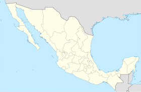
Tepezalá is a municipality in the Mexican state o Aguascalientes. It staunds at 22°13′N 102°10′W / 22.217°N 102.167°W. Its municipal seat is the toun o Tepezalá.
The municipality reportit 19,668 inhabitants in the 2010 census.
Tepezala is locatit on the fuithills o the eastren muntains o the state, a laund rich in minerals an arid in vegetation that wis on the auld Silver Route durin the 16t century, which brocht so hintle walth tae the region an help conquer the inhospitable north o Mexico.
Freemit airtins
[eedit | eedit soorce]- http://www.aguascalientes.gob.mx/estado/m_tep.html Archived 2004-10-30 at the Wayback Machine


