
File:Ile-de-France region location map.svg

Size of this PNG preview of this SVG file: 742 × 600 pixels. Ither resolutions: 297 × 240 pixels | 594 × 480 pixels | 951 × 768 pixels | 1,267 × 1,024 pixels | 2,535 × 2,048 pixels | 1,651 × 1,334 pixels.
Oreeginal file (SVG file, nominallie 1,651 × 1,334 pixels, file size: 944 KB)
Ootline
| Camera location | | View this and other nearby images on: OpenStreetMap |
|---|
| Descreeption |
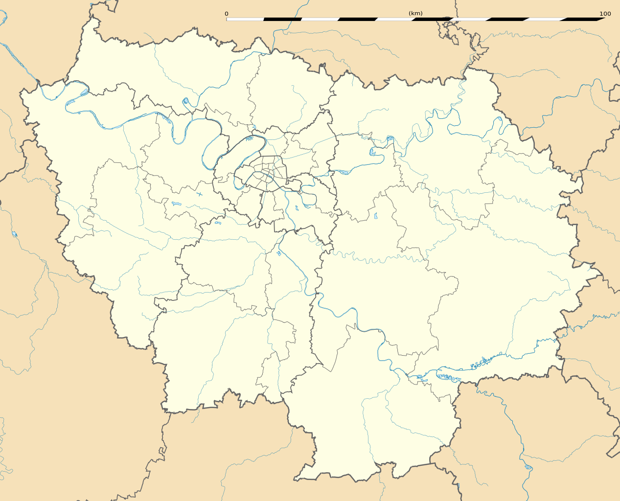
English: Blank administrative map of the region of Île-de-France, France, as in January 2015, for geo-location purpose, with distinct boundaries for regions, departments and arrondissements.
Français : Carte administrative vierge de la région Île-de-France, France, telle qu'en janvier 2015, destinée à la géolocalisation, avec limite distincte des régions, départements et arrondissements. Estimated scale: 1:400,000 (precision: 100 m)
Geographic limits of the map:
|
||
| Date | |||
| Soorce |
Ain wirk
|
||
| Author | Eric Gaba (Sting - fr:Sting) | ||
| Permission (Reuisin this file) |
|
||
| Other versions |
|

Licensin
Eric Gaba, Wikimedia Commons user Sting, the copyright holder of this work, hereby publishes it under the following license:
This file is licensed unner the Creative Commons Attribution-Share Alike 3.0 Unported license.
Attribution: Eric Gaba, Wikimedia Commons user Sting
- Ye are free:
- tae share – tae copy, distribute an transmit the wirk
- tae remix – tae adapt the wirk
- Unner the follaein condeetions:
- attribution – Ye must attribute the wirk in the manner specified bi the author or licensor (but nae in ony way that suggests that thay endorse ye or yer uise o the wirk).
- share alik – If ye alter, transform, or big upon this wirk, ye mey distribute the resultin wirk anly unner the same or seemilar license tae this ane.
File history
Clap oan ae date/time fer tae see the file aes it kithed at that time.
| Date/Time | Thummnail | Dimensions | Uiser | Comment | |
|---|---|---|---|---|---|
| current | 15:21, 12 Februar 2015 | | 1,651 × 1,334 (944 KB) | Sting | Boundaries correction |
| 16:25, 22 Januar 2015 |  | 1,651 × 1,334 (945 KB) | Sting | Boundaries correction | |
| 14:03, 21 Januar 2015 |  | 1,651 × 1,334 (943 KB) | Sting | == {{int:filedesc}} == {{Location|48|40|30|N|02|30|00|E|scale:1000000}} {{Information |Description={{en|Blank administrative map of the region of Île-de-France, France, as in January 2015, for geo-location purpose, with distinct... |
Eimage airtins
The follaein pages airts tae this image:
- Aulnay-sur-Mauldre
- Ballainvilliers
- Charles de Gaulle Airport
- Charny, Seine-et-Marne
- Dammartin-en-Goële
- Dammartin-en-Serve
- Dammartin-sur-Tigeaux
- Jouy-le-Châtel
- Jouy-sur-Morin
- La Celle-sur-Morin
- La Ferté-Gaucher
- Orly Airport
- Pailace o Versailles
- Paris
- Saint-Siméon, Seine-et-Marne
- Vernou-la-Celle-sur-Seine
- Villejust
- Villeneuve-sous-Dammartin
- Template:Location map France Île-de-France
Global file uisage
The follaein ither wikis uise this file:
- Uisage on af.wikipedia.org
- Uisage on als.wikipedia.org
- Uisage on ast.wikipedia.org
- Uisage on azb.wikipedia.org
- پاریس
- ارژانتوی
- کولومب فرانسه
- کوربوآ
- ورسای
- کرتی
- ویتری-سور-سن
- سرژی
- لوالوآ-پره
- ایسی-له-مولینو
- سن-مر-د-فوسه
- روی ملمزون
- اپینه-سور-سن
- اتی مون
- اوی، ایولین
- ایوری-سور-سن
- آلفورویل
- برتینی-سور-ارژ
- برونوآ
- بری-سور-مرن
- بنیوله
- بوآ-کلمب
- بوبینی
- بوندی
- پلزو
- پونتوآز
- پیروفیت سور سن
- ترامبله آنفرانس
- دروی
- دمری للیس
- دوی لبر
- روزنی سو بوآ
- ری اورانژی
- ژنویلیه
- ژیف سور ایوت
- سن-مانده
- سن ژرمن آن له
- سن کلو
- سن میشل سور اورژ
- سورزن
- سوینیی سور اورژ
- شاتنه-ملبری
- شام سور مرن
- شتو
- شرانتون-لو-پون
View mair global usage o this file.