
File:Gloucestershire UK location map.svg

Size of this PNG preview of this SVG file: 516 × 600 pixels. Ither resolutions: 206 × 240 pixels | 413 × 480 pixels | 661 × 768 pixels | 881 × 1,024 pixels | 1,762 × 2,048 pixels | 1,089 × 1,266 pixels.
Oreeginal file (SVG file, nominallie 1,089 × 1,266 pixels, file size: 2.27 MB)
| Descreeption |
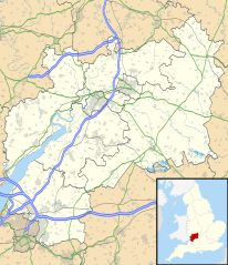
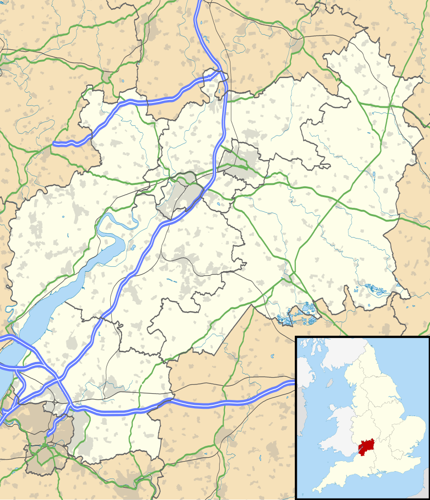
Map of Gloucestershire, UK with the following information shown:
Equirectangular map projection on WGS 84 datum, with N/S stretched 160% Geographic limits:
|
| Date | |
| Soorce |
|
| Author | Nilfanion, created using Ordnance Survey data |
| Permission (Reuisin this file) |
This file is licensed unner the Creative Commons Attribution-Share Alike 3.0 Unported license. Attribution: Contains Ordnance Survey data © Crown copyright and database right
|
| Other versions | File:Gloucestershire UK district map (blank).svg - Blank map |
.svg)
File history
Clap oan ae date/time fer tae see the file aes it kithed at that time.
| Date/Time | Thummnail | Dimensions | Uiser | Comment | |
|---|---|---|---|---|---|
| current | 18:53, 26 September 2010 | | 1,089 × 1,266 (2.27 MB) | Nilfanion | {{Information |Description=Map of Gloucestershire, UK with the following information shown: *Administrative borders *Coastline, lakes and rivers *Roads and railways *Urban areas Equirectangular map projection on WGS 84 datum, with N |
Eimage airtins
The follaein pages airts tae this image:
Global file uisage
The follaein ither wikis uise this file:
- Uisage on ar.wikipedia.org
- Uisage on bg.wikipedia.org
- Uisage on bn.wikipedia.org
- Uisage on ceb.wikipedia.org
- Uisage on en.wikipedia.org
- Stow-on-the-Wold
- Deerhurst
- Thornbury, Gloucestershire
- WWT Slimbridge
- Dymock
- Bradley Stoke
- Dursley
- Cirencester
- Chedworth
- Kempley
- Yate
- Tewkesbury
- Stroud
- Moreton-in-Marsh
- Chipping Campden
- Lechlade
- Painswick
- Winchcombe
- Winterbourne, Gloucestershire
- Cinderford
- Lydney
- Berkeley, Gloucestershire
- Berkeley Castle
- Kingswood, South Gloucestershire
- RAF Fairford
- Newent
- Nailsworth
- Wotton-under-Edge
- North Nibley
- Charfield
View mair global usage o this file.