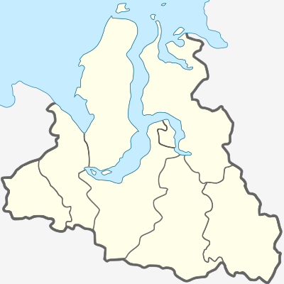
Template:Location map Russia Yamalo-Nenets Autonomous Okrug
Appearance
| name | Yamalo-Nenets Autonomous Okrug | |||
|---|---|---|---|---|
| border coordinates | ||||
| 73.52 | ||||
| 62.02 | ←↕→ | 85.55 | ||
| 62.47 | ||||
| map center | 67°59′42″N 73°47′06″E / 67.995°N 73.785°E | |||
| image | Yamalo-Nenetsky AO.svg
| |||

| ||||
| name | Yamalo-Nenets Autonomous Okrug | |||
|---|---|---|---|---|
| border coordinates | ||||
| 73.52 | ||||
| 62.02 | ←↕→ | 85.55 | ||
| 62.47 | ||||
| map center | 67°59′42″N 73°47′06″E / 67.995°N 73.785°E / 67.995; 73.785 | |||
| image | Yamalo-Nenetsky AO.svg
| |||

| ||||