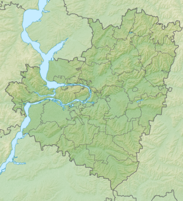
Template:Location map Russia Samara Oblast
Appearance
| name | Samara Oblast | |||
|---|---|---|---|---|
| border coordinates | ||||
| 54.8 | ||||
| 47.8 | ←↕→ | 52.6 | ||
| 51.6 | ||||
| map center | 53°12′N 50°12′E / 53.2°N 50.2°E | |||
| image | Outline Map of Samara Oblast.svg
| |||

| ||||
| image1 | Relief Map of Samara Oblast.png
| |||

| ||||
| name | Samara Oblast | |||
|---|---|---|---|---|
| border coordinates | ||||
| 54.8 | ||||
| 47.8 | ←↕→ | 52.6 | ||
| 51.6 | ||||
| map center | 53°12′N 50°12′E / 53.2°N 50.2°E / 53.2; 50.2 | |||
| image | Outline Map of Samara Oblast.svg
| |||

| ||||
| image1 | Relief Map of Samara Oblast.png
| |||

| ||||