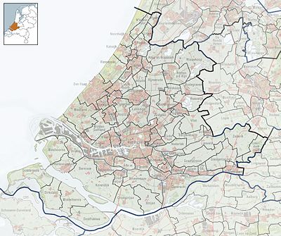
Template:Location map Netherlands South Holland
Appearance
| name | Sooth Holland | |||
|---|---|---|---|---|
| border coordinates | ||||
| 52.3569 | ||||
| 3.8218 | ←↕→ | 5.213356 | ||
| 51.6295 | ||||
| map center | 51°59′36″N 4°31′03″E / 51.9932°N 4.517578°E | |||
| image | 2010-NL-P08-Zuid-Holland-positiekaart-gemnamen.jpg
| |||

| ||||
