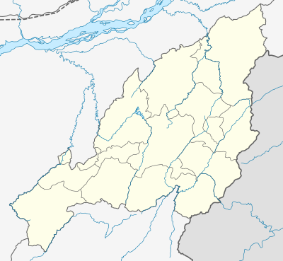
Template:Location map India Nagaland
Appearance
| name | Nagaland | |||
|---|---|---|---|---|
| border coordinates | ||||
| 27.069 | ||||
| 93.263 | ←↕→ | 95.361 | ||
| 25.130 | ||||
| map center | 26°05′58″N 94°18′43″E / 26.0995°N 94.312°E | |||
| image | India Nagaland location map.svg
| |||

| ||||
| mark | Locator_Dot.svg
| |||
| name | Nagaland | |||
|---|---|---|---|---|
| border coordinates | ||||
| 27.069 | ||||
| 93.263 | ←↕→ | 95.361 | ||
| 25.130 | ||||
| map center | 26°05′58″N 94°18′43″E / 26.0995°N 94.312°E / 26.0995; 94.312 | |||
| image | India Nagaland location map.svg
| |||

| ||||
| mark | Locator_Dot.svg
| |||