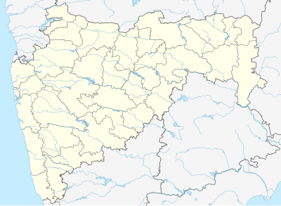
Template:Location map India Maharashtra
Appearance
| name | Maharashtra | |||
|---|---|---|---|---|
| border coordinates | ||||
| 22.1167 | ||||
| 72.3500 | ←↕→ | 81.3333 | ||
| 15.5500 | ||||
| map center | 18°50′00″N 76°50′30″E / 18.83335°N 76.84165°E | |||
| image | India Maharashtra location map.svg
| |||

| ||||
| mark | Locator_Dot.svg
| |||
