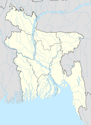
Kasalia
Kasalia | |
|---|---|
Veelage | |
| Coordinates: 23°15′N 89°55′E / 23.250°N 89.917°E | |
| Kintra | |
| Diveesion | Dhaka Diveesion |
| Destrict | Gopalganj Destrict |
| Upazila | Muksudpur Upazila |
| Area | |
| • Total | 4 km2 (2 sq mi) |
| Population | |
| • Total | 4,500 |
| • Density | 1150/km2 (3,000/sq mi) |
| Time zone | UTC+6 (Bangladesh Time) |
Kasalia is a veelage in Gopalganj Destrict, Bangladesh, pairt o Muksudpur Upazila. The veelage covers a aurie o 4 km2, an is bordered bi the veelages o Nanikhir, Gunohar, Nawkhanda an Mosna, Goinary. Pathorghata's main canal is the Hatashe Channel an flow up tae Kasalia. The Bil Rout Canal at Jalirpar joins wi the Hatashe Canal tae the river Padma
Kasalia is a Union Parishad an aw. It wis established in 1634 consistin o aicht nummer o veelages. The veelage consists o three wairds an few mahallas. The veelage haes a Heich Schuil, a primar schuil, seiven mosques, a Govrenment Hospital, an few commonty schuils.
Nan-govrenmental organizations operatin in Pathorghata include BDAO (the Bangladesh Development Acceleration Organisation), BRAC, CCDB, ASA, World Vision, an HCCB.

