
File:Tour Jeanne D'Arc10.jpg

Size o this luikower: 450 × 600 pixels. Ither resolutions: 180 × 240 pixels | 360 × 480 pixels | 768 × 1,024 pixels.
Oreeginal file (768 × 1,024 pixels, file size: 386 KB, MIME type: image/jpeg)
|
This building is indexed in the base Mérimée, a database of architectural heritage maintained by the French Ministry of Culture, under the reference PA00101011
|
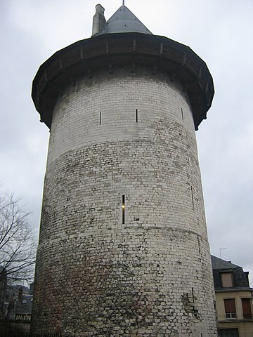
Rouen, tour Jeanne d'Arc. Personal picture taken by user Urban 2005

|
Permission is grantit tae copy, distribute an/or modify this document unner the terms o the GNU Free Documentation License, Version 1.2 or ony later version published bi the Free Software Foundation; wi no Invariant Sections, no Front-Cover Texts, an no Back-Cover Texts. A copy o the license is includit in the section enteetled GNU Free Documentation License. |
| This file is licensed unner the Creative Commons Attribution-Share Alike 3.0 Unported license. | ||
| ||
| This licensing tag was added to this file as part of the GFDL licensing update. |
| Object location | | View this and other nearby images on: OpenStreetMap |
|---|
File history
Clap oan ae date/time fer tae see the file aes it kithed at that time.
| Date/Time | Thummnail | Dimensions | Uiser | Comment | |
|---|---|---|---|---|---|
| current | 18:54, 12 December 2011 | | 768 × 1,024 (386 KB) | Rotatebot | Bot: Image rotated by 180° |
| 13:27, 9 December 2011 |  | 768 × 1,024 (386 KB) | Rotatebot | Bot: Image rotated by 90° (EXIF-Orientation set from 6 to 1, rotated 180°) | |
| 20:13, 14 Februar 2005 |  | 1,024 × 768 (386 KB) | Urban~commonswiki | Rouen, tour Jeanne d'Arc. Personal picture taken by user Urban 2005 {{GFDL}} |
Eimage airtins
The follaein pages airts tae this image:
Global file uisage
The follaein ither wikis uise this file:
- Uisage on af.wikipedia.org
- Uisage on ar.wikipedia.org
- Uisage on ba.wikipedia.org
- Uisage on be.wikipedia.org
- Uisage on bg.wikipedia.org
- Uisage on ce.wikipedia.org
- Uisage on da.wikipedia.org
- Uisage on en.wikipedia.org
- Uisage on eo.wikipedia.org
- Uisage on es.wikipedia.org
- Uisage on fr.wikipedia.org
- Uisage on ga.wikipedia.org
- Uisage on gl.wikipedia.org
- Uisage on he.wikipedia.org
- Uisage on hu.wikipedia.org
- Uisage on hy.wikipedia.org
- Uisage on id.wikipedia.org
- Uisage on ja.wikipedia.org
- Uisage on ko.wikipedia.org
- Uisage on la.wikipedia.org
- Uisage on lb.wikipedia.org
- Uisage on li.wikipedia.org
- Uisage on lt.wikipedia.org
- Uisage on mk.wikipedia.org
- Uisage on ms.wikipedia.org
- Uisage on nds-nl.wikipedia.org
- Uisage on no.wikipedia.org
- Uisage on oc.wikipedia.org
- Uisage on pl.wikipedia.org
- Uisage on pt.wikipedia.org
- Uisage on ru.wikipedia.org
- Uisage on sh.wikipedia.org
- Uisage on sr.wikipedia.org
- Uisage on sv.wikipedia.org
- Uisage on th.wikipedia.org
- Uisage on tt.wikipedia.org
- Uisage on uk.wikipedia.org
- Uisage on vi.wikipedia.org
- Uisage on zh.wikipedia.org