
File:The Church of St Thomas the Martyr, Upholland - geograph.org.uk - 2056849.jpg
Nae heier resolution available.
The_Church_of_St_Thomas_the_Martyr,_Upholland_-_geograph.org.uk_-_2056849.jpg (640 × 480 pixels, file size: 118 KB, MIME type: image/jpeg)
This is a photo of listed building number 1201666. |
Ootline
| Descreeption |
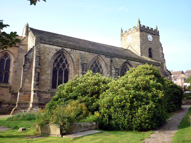
English: Nave and west tower of St Thomas the Martyr's parish church, Up Holland, Lancashire, England, seen from the northeast |
| Date | |
| Soorce | From geograph.org.uk; transferred by User:Belovedfreak using geograph_org2commons. |
| Author | Karl and Ali |
| Permission (Reuisin this file) |
Creative Commons Attribution Share-alike license 2.0 |
| Attribution (required by the license) | Karl and Ali / The Church of St Thomas the Martyr, Upholland / |
| Camera location | | View this and other nearby images on: OpenStreetMap |
|---|
| Object location | | View this and other nearby images on: OpenStreetMap |
|---|
_region:GB-GBN_heading:225.00&language=sco)
Licensin

|
This image was taken from the Geograph project collection. See this photograph's page on the Geograph website for the photographer's contact details. The copyright on this image is owned by Karl and Ali and is licensed for reuse under the Creative Commons Attribution-ShareAlike 2.0 license.
|
This file is licensed under the Creative Commons Attribution-Share Alike 2.0 Generic license.
Attribution: Karl and Ali
- Ye are free:
- tae share – tae copy, distribute an transmit the wirk
- tae remix – tae adapt the wirk
- Unner the follaein condeetions:
- attribution – Ye must attribute the wirk in the manner specified bi the author or licensor (but nae in ony way that suggests that thay endorse ye or yer uise o the wirk).
- share alik – If ye alter, transform, or big upon this wirk, ye mey distribute the resultin wirk anly unner the same or seemilar license tae this ane.
File history
Clap oan ae date/time fer tae see the file aes it kithed at that time.
| Date/Time | Thummnail | Dimensions | Uiser | Comment | |
|---|---|---|---|---|---|
| current | 19:57, 12 September 2010 | | 640 × 480 (118 KB) | File Upload Bot (Magnus Manske) | == {{int:filedesc}} == {{Information |Description={{en|1=The Church of St Thomas the Martyr, Upholland, near to Up Holland, Lancashire, Great Britain. Information here <span class="nowrap"><a title="http://www.stthomasthemartyr.org.uk/index.htm" rel="nofo |
Eimage airtins
The follaein pages airts tae this image:
Global file uisage
The follaein ither wikis uise this file:
- Uisage on arz.wikipedia.org
- Uisage on azb.wikipedia.org
- Uisage on dag.wikipedia.org
- Uisage on de.wikipedia.org
- Uisage on en.wikipedia.org
- List of monastic houses in England
- Up Holland
- Civil parishes in Lancashire
- List of monastic houses in Lancashire
- Grade I listed buildings in Lancashire
- User:Skinsmoke/Sandbox/Civil parishes/Lancashire
- Up Holland Priory
- List of English abbeys, priories and friaries serving as parish churches
- Grade I listed churches in Lancashire
- Church of St Thomas the Martyr, Up Holland
- User:Nev1/Lancs Grade I
- Listed buildings in Up Holland
- Scheduled monuments in Lancashire
- Uisage on es.wikipedia.org
- Uisage on fa.wikipedia.org
- Uisage on nl.wikipedia.org
- Uisage on www.wikidata.org