
File:Relief Map of Latvia.jpg

Size o this luikower: 800 × 504 pixels. Ither resolutions: 320 × 202 pixels | 640 × 403 pixels | 1,200 × 756 pixels.
Oreeginal file (1,200 × 756 pixels, file size: 309 KB, MIME type: image/jpeg)
Ootline
| Descreeption |
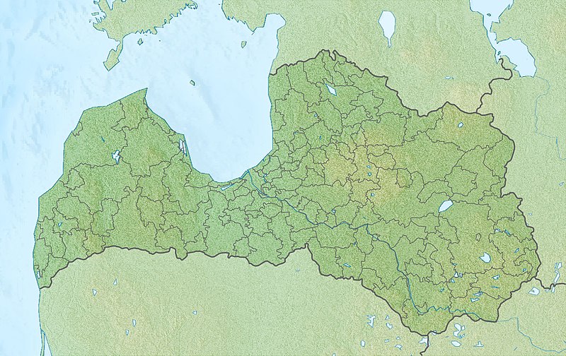
English: Location map of Latvia Equirectangular projection, N/S stretching 170 %. Geographic limits of the map:
|
| Date | (UTC) |
| Soorce |
|
| Author |
|
| This is a retouched picture, which means that it has been digitally altered from its original version. The original can be viewed here: Latvia location map.svg:
|
Licensin
I, the copyright holder of this work, hereby publish it under the following licenses:
This file is licensed unner the Creative Commons Attribution-Share Alike 3.0 Unported license.
- Ye are free:
- tae share – tae copy, distribute an transmit the wirk
- tae remix – tae adapt the wirk
- Unner the follaein condeetions:
- attribution – Ye must attribute the wirk in the manner specified bi the author or licensor (but nae in ony way that suggests that thay endorse ye or yer uise o the wirk).
- share alik – If ye alter, transform, or big upon this wirk, ye mey distribute the resultin wirk anly unner the same or seemilar license tae this ane.

|
Permission is grantit tae copy, distribute an/or modify this document unner the terms o the GNU Free Documentation License, Version 1.2 or ony later version published bi the Free Software Foundation; wi no Invariant Sections, no Front-Cover Texts, an no Back-Cover Texts. A copy o the license is includit in the section enteetled GNU Free Documentation License. |
Ye mey select the license o yer choice.
Original upload log
This image is a derivative work of the following images:
- File:Latvia_location_map.svg licensed with Cc-by-sa-3.0, GFDL
- 2009-07-04T13:16:32Z Gleb Borisov 1305x822 (367838 Bytes) from July 1 the political map of Latvia is like that
- 2009-02-12T10:14:18Z NordNordWest 1305x822 (256639 Bytes) boundaries stay the same until July 2009
- 2008-12-31T17:54:15Z NordNordWest 1305x822 (367838 Bytes)
- 2008-08-29T08:07:14Z NordNordWest 1305x822 (256639 Bytes)
- 2008-07-17T21:18:06Z NordNordWest 652x411 (254520 Bytes) {{Information |Description= {{de|Positionskarte von [[:de:Lettland|Lettland]]}} Quadratische Plattkarte, N-S-Streckung 170 %. Geographische Begrenzung der Karte: * N: 58.5° N * S: 55.5° N * W: 20.5° O * O: 28.6° O {{en|Lo
Uploaded with derivativeFX
File history
Clap oan ae date/time fer tae see the file aes it kithed at that time.
| Date/Time | Thummnail | Dimensions | Uiser | Comment | |
|---|---|---|---|---|---|
| current | 17:32, 27 November 2010 | | 1,200 × 756 (309 KB) | Виктор В | {{Information |Description={{en|Location map of Latvia}} Equirectangular projection, N/S stretching 170 %. Geographic limits of the map: * N: 58.5° N * S: 55.5° N * W: 20.5° E * E: 28.6° E |Source=*[[:File:Latvia_location_map.svg|] |
Eimage airtins
The follaein pages airts tae this image:
Global file uisage
The follaein ither wikis uise this file:
- Uisage on an.wikipedia.org
- Uisage on ar.wikipedia.org
- Uisage on ast.wikipedia.org
- Uisage on az.wikipedia.org
- Qauya Milli Parkı
- Şablon:Yer xəritəsi Latviya
- Kemeri Milli Parkı
- Doles yarımadası
- Kolkasraqs burnu
- Teyçi qoruğu
- Venta şəlaləsi
- Slitere Milli Parkı
- Lusavsala
- Latviyanın Milli Botanika Bağı
- Raznas Milli Parkı
- Şimali Vidzeme Biosfer Qoruğu
- Qutman mağarası
- Ventspils Beynəlxalq Radioastronomiya Mərkəzi
- Riqa SES
- Uisage on bn.wikipedia.org
- Uisage on bs.wikipedia.org
- Uisage on ca.wikipedia.org
- Uisage on ceb.wikipedia.org
- Uisage on ce.wikipedia.org
- Uisage on ckb.wikipedia.org
- Uisage on cs.wikipedia.org
- Uisage on da.wikipedia.org
- Uisage on el.wikipedia.org
- Uisage on en.wikipedia.org
View mair global usage o this file.