
File:Ecuador Galápagos Islands location map.svg

Size of this PNG preview of this SVG file: 529 × 600 pixels. Ither resolutions: 212 × 240 pixels | 423 × 480 pixels | 677 × 768 pixels | 903 × 1,024 pixels | 1,806 × 2,048 pixels | 850 × 964 pixels.
Oreeginal file (SVG file, nominallie 850 × 964 pixels, file size: 45 KB)
Ootline
| Descreeption |
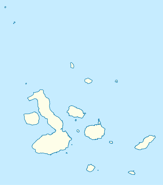
Quadratische Plattkarte. Geographische Begrenzung der Karte:
Equirectangular projection. Geographic limits of the map:
|
| Date | 2 Mairch 2009 (upload date) |
| Soorce |
own work, using
|
| Author | NordNordWest |
| Other versions | Derivative works of this file: Galapagos Simple Map.png |

|
This map has been made or improved in the German Kartenwerkstatt (Map Lab). You can propose maps to improve as well.
|
Licensin
I, the copyright holder of this work, hereby publish it under the following licenses:

|
Permission is grantit tae copy, distribute an/or modify this document unner the terms o the GNU Free Documentation License, Version 1.2 or ony later version published bi the Free Software Foundation; wi no Invariant Sections, no Front-Cover Texts, an no Back-Cover Texts. A copy o the license is includit in the section enteetled GNU Free Documentation License. |
This file is licensed under the Creative Commons Attribution 3.0 Unported license.
- Ye are free:
- tae share – tae copy, distribute an transmit the wirk
- tae remix – tae adapt the wirk
- Unner the follaein condeetions:
- attribution – Ye must attribute the wirk in the manner specified bi the author or licensor (but nae in ony way that suggests that thay endorse ye or yer uise o the wirk).
Ye mey select the license o yer choice.
File history
Clap oan ae date/time fer tae see the file aes it kithed at that time.
| Date/Time | Thummnail | Dimensions | Uiser | Comment | |
|---|---|---|---|---|---|
| current | 14:32, 2 Mairch 2009 | | 850 × 964 (45 KB) | NordNordWest | {{Information |Description= {{de|Positionskarte der Galápagos-Inseln, Ecuador}} Quadratische Plattkarte. Geographische Begrenzung der Karte: * N: 1.8° N * S: 1.6° S * W: 92.1° W * O: 89.1° W {{en|Location map |
Eimage airtins
The follaein pages airts tae this image:
Global file uisage
The follaein ither wikis uise this file:
- Uisage on ar.wikipedia.org
- Uisage on ast.wikipedia.org
- Uisage on be.wikipedia.org
- Uisage on bg.wikipedia.org
- Uisage on bs.wikipedia.org
- Uisage on ceb.wikipedia.org
- Uisage on ckb.wikipedia.org
- Uisage on cs.wikipedia.org
- Šablona:LocMap Galapágy
- Wikipedie:WikiProjekt Česko-slovenská Wikipedie/Přeložené články/2014-02/Galerie
- Alcedo (sopka)
- Cerro Azul (Galapágy)
- Darwin (sopka)
- Ecuador (sopka)
- Fernandina
- Genovesa
- Marchena (ostrov)
- Pinta (ostrov)
- San Cristóbal (ostrov)
- Santiago (Galapágy)
- Sierra Negra (sopka)
- Wolf (sopka)
- Puerto Baquerizo Moreno
- Isabela (Galapágy)
- La Cumbre
- Uisage on da.wikipedia.org
- Uisage on de.wikipedia.org
- Uisage on en.wikipedia.org
View mair global usage o this file.