
File:Crannog, Dowalton Loch - geograph.org.uk - 748272.jpg
Nae heier resolution available.
Crannog,_Dowalton_Loch_-_geograph.org.uk_-_748272.jpg (640 × 480 pixels, file size: 167 KB, MIME type: image/jpeg)
Ootline
| Descreeption |
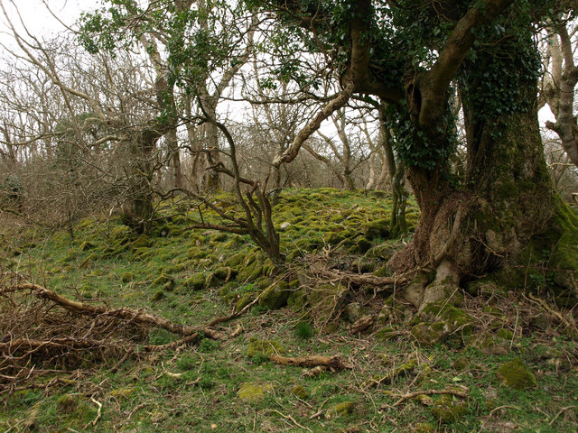
English: Crannog, Dowalton Loch When Dowalton Loch was drained in 1863, several crannogs were revealed as the water level fell. Some of these were excavated, producing a wealth of iron age artifacts. The remains of this crannog lie just off what was the north shore of the loch, named as Heron Isle on the 1850 OS map. |
| Date | |
| Soorce | From geograph.org.uk |
| Author | David Baird |
| Attribution (required by the license) | David Baird / Crannog, Dowalton Loch / |
| Camera location | | View this and other nearby images on: OpenStreetMap |
|---|
_heading:247.00&language=sco)
| Object location | | View this and other nearby images on: OpenStreetMap |
|---|
_heading:247.00&language=sco)
Licensin

|
This image was taken from the Geograph project collection. See this photograph's page on the Geograph website for the photographer's contact details. The copyright on this image is owned by David Baird and is licensed for reuse under the Creative Commons Attribution-ShareAlike 2.0 license.
|
This file is licensed under the Creative Commons Attribution-Share Alike 2.0 Generic license.
Attribution: David Baird
- Ye are free:
- tae share – tae copy, distribute an transmit the wirk
- tae remix – tae adapt the wirk
- Unner the follaein condeetions:
- attribution – Ye must attribute the wirk in the manner specified bi the author or licensor (but nae in ony way that suggests that thay endorse ye or yer uise o the wirk).
- share alik – If ye alter, transform, or big upon this wirk, ye mey distribute the resultin wirk anly unner the same or seemilar license tae this ane.
File history
Clap oan ae date/time fer tae see the file aes it kithed at that time.
| Date/Time | Thummnail | Dimensions | Uiser | Comment | |
|---|---|---|---|---|---|
| current | 11:06, 19 Februar 2011 | | 640 × 480 (167 KB) | GeographBot | == {{int:filedesc}} == {{Information |description={{en|1=Crannog, Dowalton Loch When Dowalton Loch was drained in 1863, several crannogs were revealed as the water level fell. Some of these were excavated, producing a wealth of iron age artifacts. The rem |
Eimage airtins
The follaein pages airts tae this image:
Global file uisage
The follaein ither wikis uise this file:
- Uisage on en.wikipedia.org