
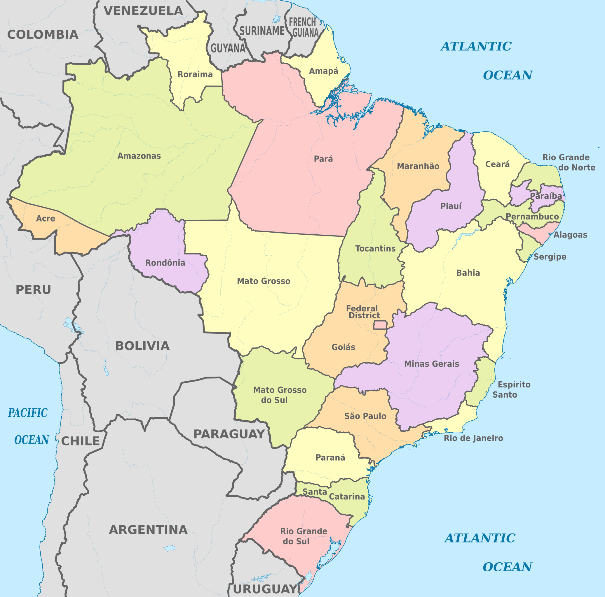
File:Brazil, administrative divisions (states) - en - colored.svg

Size of this PNG preview of this SVG file: 607 × 600 pixels. Ither resolutions: 243 × 240 pixels | 486 × 480 pixels | 777 × 768 pixels | 1,036 × 1,024 pixels | 2,073 × 2,048 pixels | 2,008 × 1,984 pixels.
Oreeginal file (SVG file, nominallie 2,008 × 1,984 pixels, file size: 2.57 MB)
Ootline


.svg)


_(Paris_zoom).svg)
.svg)
,_administrative_divisions_-_de_-_colored_(multizoom).svg)
_-_colored.svg)
.svg)
,_administrative_divisions_-_Nmbrs_(multizoom).svg)
,_administrative_divisions_-_de_-_colored.svg)
_-_de_-_colored.svg)

.svg)

.svg)
_-_en_-_colored.svg)
_-_de_-_colored.svg)
Licensin
I, the copyright holder of this work, hereby publish it under the following license:
This file is licensed unner the Creative Commons Attribution-Share Alike 3.0 Unported license.
- Ye are free:
- tae share – tae copy, distribute an transmit the wirk
- tae remix – tae adapt the wirk
- Unner the follaein condeetions:
- attribution – Ye must attribute the wirk in the manner specified bi the author or licensor (but nae in ony way that suggests that thay endorse ye or yer uise o the wirk).
- share alik – If ye alter, transform, or big upon this wirk, ye mey distribute the resultin wirk anly unner the same or seemilar license tae this ane.

|
I'd greatly appreciate, that you attribute this media file to Wikimedia Commons, if used outside Wikipedia or Commons. For use in publications such as books, newspapers, blogs, websites, please insert here the following line:
|
_-_en_-_colored.svg&action=edit&redlink=1)
File history
Clap oan ae date/time fer tae see the file aes it kithed at that time.
| Date/Time | Thummnail | Dimensions | Uiser | Comment | |
|---|---|---|---|---|---|
| current | 10:28, 8 August 2013 | | 2,008 × 1,984 (2.57 MB) | TUBS | |
| 07:38, 7 August 2013 |  | 2,008 × 1,984 (2.57 MB) | TUBS | == {{int:filedesc}} == {{Information |Description={{de|Karte der politischen Gliederung von XY (siehe Dateiname)}} {{en|Map of administrative divisions of XY (see filename)}} |Source={{own}}{{Adobe Illustrator}}{{Commonist}}{{AttribSVG|Brazil, adminis... |
Eimage airtins
The follaein pages airts tae this image:
Global file uisage
The follaein ither wikis uise this file:
- Uisage on ar.wikipedia.org
- Uisage on ban.wikipedia.org
- Uisage on ba.wikipedia.org
- Uisage on be.wikipedia.org
- Uisage on el.wikipedia.org
- Uisage on en.wikipedia.org
- Uisage on en.wiktionary.org
- Uisage on eo.wikipedia.org
- Uisage on es.wikipedia.org
- Uisage on fa.wikipedia.org
- Uisage on fi.wikipedia.org
- Bahia
- Minas Gerais
- Pernambuco
- Amazonas (Brasilia)
- Espírito Santo
- Rio de Janeiro (osavaltio)
- Malline:Brasilian osavaltiot
- Rio Grande do Sul
- Rio Grande do Norte
- Mato Grosso
- Santa Catarina
- Mato Grosso do Sul
- Sergipe
- Rondônia
- Alagoas
- Amapá
- Ceará
- Pará
- Paraíba
- Roraima
- Maranhão
- Piauí
- Tocantins
- Acre
- Goiás
- São Paulo (osavaltio)
- Paraná (osavaltio)
- Distrito Federal
- Brasilian osavaltiot
- Pohjoinen alue (Brasilia)
- Koillinen alue (Brasilia)
- Kaakkoinen alue (Brasilia)
- Eteläinen alue (Brasilia)
- Keski-läntinen alue (Brasilia)
View mair global usage o this file.
_-_en_-_colored.svg)
_-_en_-_colored.svg)