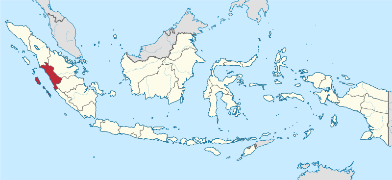
File:West Sumatra in Indonesia.svg
Appearance

Size of this PNG preview of this SVG file: 800 × 367 pixels. Ither resolutions: 320 × 147 pixels | 640 × 293 pixels | 1,024 × 469 pixels | 1,280 × 587 pixels | 2,560 × 1,173 pixels | 982 × 450 pixels.
Oreeginal file (SVG file, nominallie 982 × 450 pixels, file size: 793 KB)
File history
Clap oan ae date/time fer tae see the file aes it kithed at that time.
| Date/Time | Thummnail | Dimensions | Uiser | Comment | |
|---|---|---|---|---|---|
| current | 17:29, 5 December 2022 |  | 982 × 450 (793 KB) | NordNordWest | upd 2022 |
| 10:18, 8 August 2021 |  | 982 × 450 (912 KB) | Afrogindahood | Fix on Papua-West Papua border | |
| 08:00, 3 September 2013 | 1,200 × 460 (875 KB) | TUBS | |||
| 09:47, 29 September 2011 | 1,200 × 460 (1.34 MB) | TUBS |
Eimage airtins
The'r nae pages airts tae this eimage.
Global file uisage
The follaein ither wikis uise this file:
- Uisage on ar.wikipedia.org
- Uisage on ast.wikipedia.org
- Uisage on az.wikipedia.org
- Uisage on ban.wikipedia.org
- Uisage on bew.wikipedia.org
- Uisage on btm.wikipedia.org
- Uisage on ca.wikipedia.org
- Uisage on cdo.wikipedia.org
- Uisage on cs.wikipedia.org
- Uisage on de.wikipedia.org
- Uisage on de.wikivoyage.org
- Uisage on diq.wikipedia.org
- Uisage on en.wikipedia.org
- West Sumatra
- Bayua
- Mount Talang
- Pasumpahan
- Mentawai Strait
- Padang Panjang
- Sijunjung Regency
- Sipora
- Mount Tandikat
- Mount Talakmau
- Mount Singgalang
- Lake Singkarak
- Mount Sago
- Solok
- Tanah Datar Regency
- Batusangkar
- Lake Diatas
- Lake Dibawah
- Dharmasraya Regency
- Lima Puluh Kota Regency
- Pasaman Regency
- Solok Regency
- West Pasaman Regency
- South Solok Regency
- North Pagai
- Template:WSumatra-geo-stub
- South Pagai
- Baso (village)
- Batuhampar
- Sikuai
- Sikakap
- Padang Barat
- Lubuk Basung
View mair global usage o this file.


