
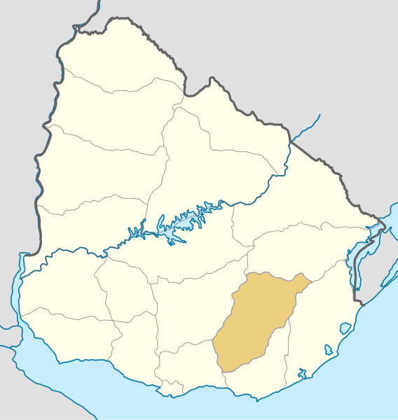
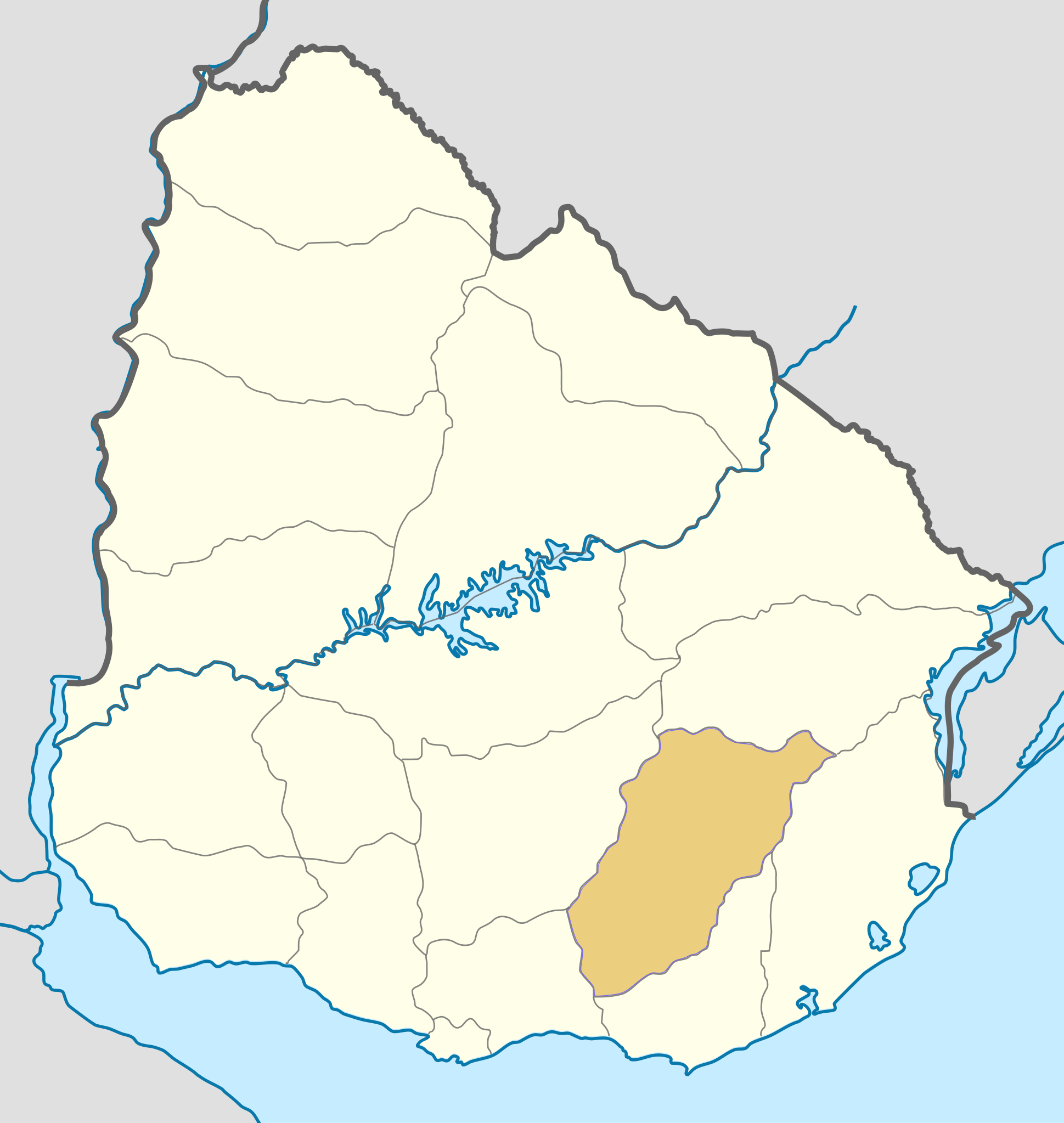
File:Uruguay Lavalleja map.svg

Size of this PNG preview of this SVG file: 568 × 600 pixels. Ither resolutions: 227 × 240 pixels | 455 × 480 pixels | 727 × 768 pixels | 970 × 1,024 pixels | 1,939 × 2,048 pixels | 1,000 × 1,056 pixels.
Oreeginal file (SVG file, nominallie 1,000 × 1,056 pixels, file size: 119 KB)
| Descreeption |
Deutsch: Positionskarte von Uruguay Quadratische Plattkarte, Geographische Begrenzung der Karte: * N: 29.86° S * S: 35.19° S * W: 58,71° W * O: 52,89° W English: Location map of Uruguay Equirectangular projection, Geographic limits of the map: * N: 29.86° S * S: 35.19° S * W: 58,71° W * E: 52,89° W |
| Date | (UTC) |
| Soorce | |
| Author |
|
| Other versions | Derivative works of this file: 1837 Uruguay Minas map.PNG |
| This is a retouched picture, which means that it has been digitally altered from its original version. Modifications: colored one department. The original can be viewed here: Uruguay location map.svg:
|
I, the copyright holder of this work, hereby publish it under the following license:
This file is licensed unner the Creative Commons Attribution-Share Alike 3.0 Unported license.
- Ye are free:
- tae share – tae copy, distribute an transmit the wirk
- tae remix – tae adapt the wirk
- Unner the follaein condeetions:
- attribution – Ye must attribute the wirk in the manner specified bi the author or licensor (but nae in ony way that suggests that thay endorse ye or yer uise o the wirk).
- share alik – If ye alter, transform, or big upon this wirk, ye mey distribute the resultin wirk anly unner the same or seemilar license tae this ane.
Original upload log
This image is a derivative work of the following images:
- File:Uruguay_location_map.svg licensed with Cc-by-sa-3.0
- 2010-03-07T07:04:03Z Spischot 1000x1056 (116911 Bytes) Default size inceased
- 2009-10-25T22:26:19Z Spischot 344x363 (142575 Bytes) {{Information |Description={{de|Positionskarte von [[:de:Uruguay|Uruguay]]}} Quadratische Plattkarte, Geographische Begrenzung der Karte: * N: 29.86° S * S: 35.19° S * W: 58,71° W * O: 52,89° W {{en|Location map of
Uploaded with derivativeFX
File history
Clap oan ae date/time fer tae see the file aes it kithed at that time.
| Date/Time | Thummnail | Dimensions | Uiser | Comment | |
|---|---|---|---|---|---|
| current | 15:20, 4 November 2010 | | 1,000 × 1,056 (119 KB) | Hoverfish | Improved fill detail |
| 13:17, 4 November 2010 |  | 1,000 × 1,056 (117 KB) | Hoverfish | {{Information |Description={{de|Positionskarte von Uruguay}} Quadratische Plattkarte, Geographische Begrenzung der Karte: * N: 29.86° S * S: 35.19° S * W: 58,71° W * O: 52,89° W {{en|Location map of Uruguay}} Equ |
Eimage airtins
The'r nae pages airts tae this eimage.
Global file uisage
The follaein ither wikis uise this file:
- Uisage on cs.wikipedia.org
- Uisage on en.wikipedia.org
- Uisage on fr.wikipedia.org
- Uisage on sk.wikipedia.org