
File:Sweden Västra Götaland location map.svg

Size of this PNG preview of this SVG file: 564 × 600 pixels. Ither resolutions: 226 × 240 pixels | 451 × 480 pixels | 722 × 768 pixels | 963 × 1,024 pixels | 1,925 × 2,048 pixels | 940 × 1,000 pixels.
Oreeginal file (SVG file, nominallie 940 × 1,000 pixels, file size: 255 KB)
Ootline
| Descreeption |
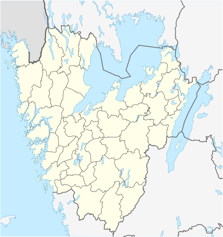
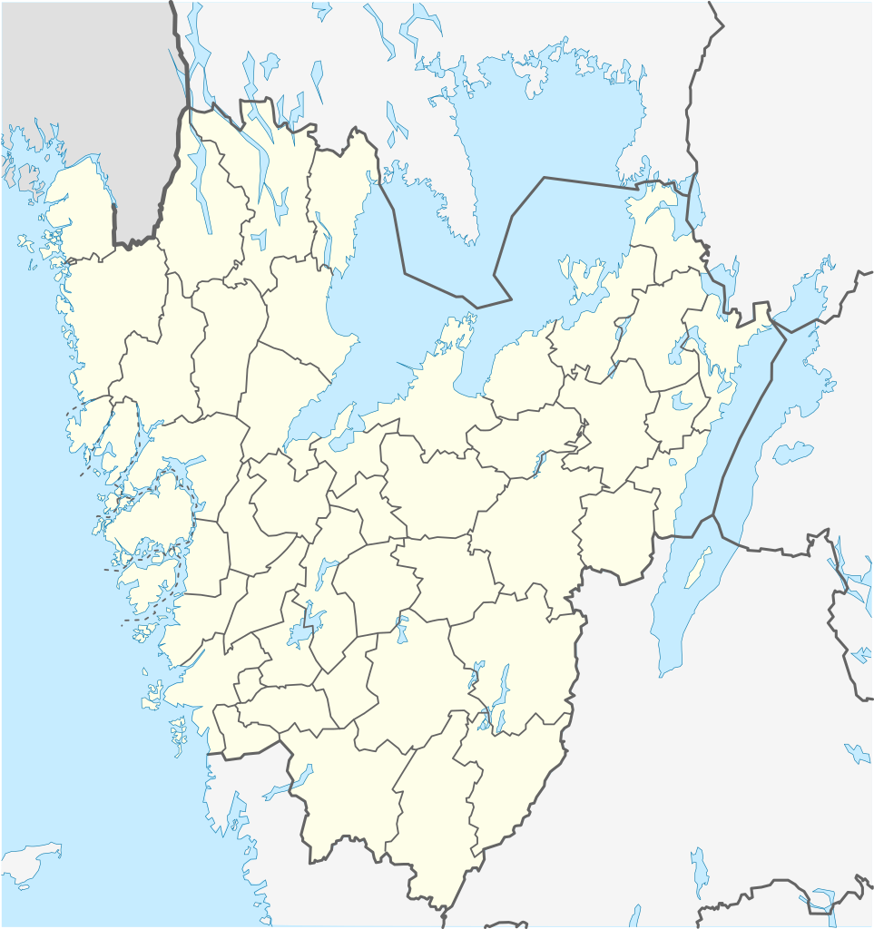
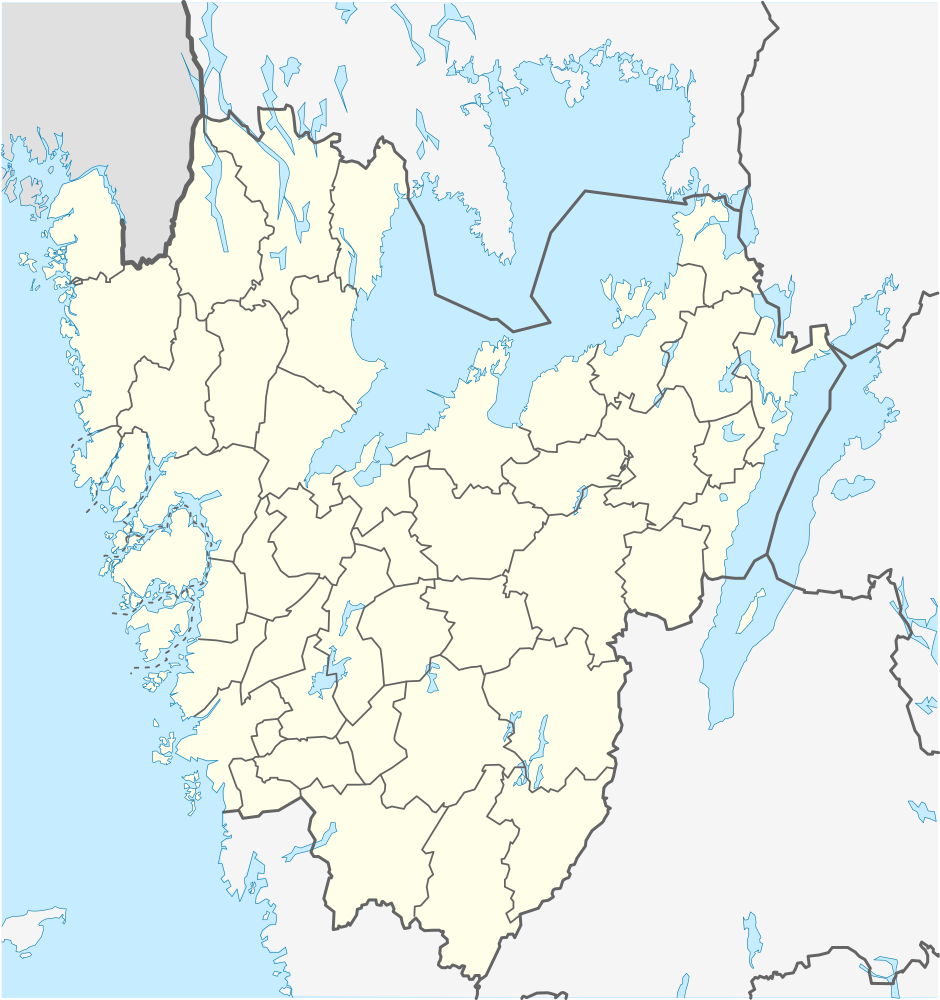
English: Location map of Västra Götaland in Sweden
Equirectangular projection, N/S stretching 190 %. Geographic limits of the map:
Deutsch: Positionskarte von Västra Götaland in Schweden
Quadratische Plattkarte, N-S-Streckung 190 %. Geographische Begrenzung der Karte:
Svenska: Karta över Västra Götaland i Sverige
Equirectangular projection, N / S sträcker sig 190%. Geografiska gränser för kartan:
|
| Date | |
| Soorce | Ain wirk |
| Author | Erik Frohne |
Licensin
I, the copyright holder of this work, hereby publish it under the following licenses:

|
Permission is grantit tae copy, distribute an/or modify this document unner the terms o the GNU Free Documentation License, Version 1.2 or ony later version published bi the Free Software Foundation; wi no Invariant Sections, no Front-Cover Texts, an no Back-Cover Texts. A copy o the license is includit in the section enteetled GNU Free Documentation License. |
This file is licensed under the Creative Commons Attribution 3.0 Unported license.
- Ye are free:
- tae share – tae copy, distribute an transmit the wirk
- tae remix – tae adapt the wirk
- Unner the follaein condeetions:
- attribution – Ye must attribute the wirk in the manner specified bi the author or licensor (but nae in ony way that suggests that thay endorse ye or yer uise o the wirk).
Ye mey select the license o yer choice.
File history
Clap oan ae date/time fer tae see the file aes it kithed at that time.
| Date/Time | Thummnail | Dimensions | Uiser | Comment | |
|---|---|---|---|---|---|
| current | 12:37, 11 December 2011 | | 940 × 1,000 (255 KB) | Esquilo | Added municipal border between Skövde and Tibro. |
| 08:55, 27 Januar 2009 |  | 940 × 1,000 (254 KB) | Erik Frohne | Adjusted waterline | |
| 07:28, 22 Januar 2009 |  | 940 × 1,000 (253 KB) | Erik Frohne | {{Information |Description={{en|1=Location map of Västra Götaland in Sweden Equirectangular projection, N/S stretching 190 %. Geographic limits of the map: * N: 59.50° N * S: 57.10° N * W: 10.90° E * E: 15.20° E }} {{de|1=Positionskarte von Västr |
Eimage airtins
The follaein pages airts tae this image:
Global file uisage
The follaein ither wikis uise this file:
- Uisage on ar.wikipedia.org
- Uisage on arz.wikipedia.org
- Uisage on bg.wikipedia.org
- Гьотеборг
- Карлсбори
- Ю (град)
- Шьовде
- Бурос
- Тролхетан
- Юнгшиле
- Венершбори
- Удевала
- Алингсос
- Омол
- Бенгтсфорш
- Болебюгд
- Далшьофорш
- Фристад
- Сандаред
- Шьомаркен
- Вискафорш
- Ед
- Фалшьопинг
- Фериеланда
- Йотене
- Ювик
- Торшланда
- Стюршьо
- Гресторп
- Гулспонг
- Хува
- Хенон
- Херюнга
- Шина
- Кунгелв
- Марщранд
- Кунгсхамн
- Хунебостранд
- Смьоген
- Лерум
- Флуда
View mair global usage o this file.