
File:Spain Navarre location map.svg

Size of this PNG preview of this SVG file: 512 × 538 pixels. Ither resolutions: 228 × 240 pixels | 457 × 480 pixels | 731 × 768 pixels | 974 × 1,024 pixels | 1,949 × 2,048 pixels.
Oreeginal file (SVG file, nominallie 512 × 538 pixels, file size: 571 KB)
Ootline
{{Information |description=
| Descreeption |
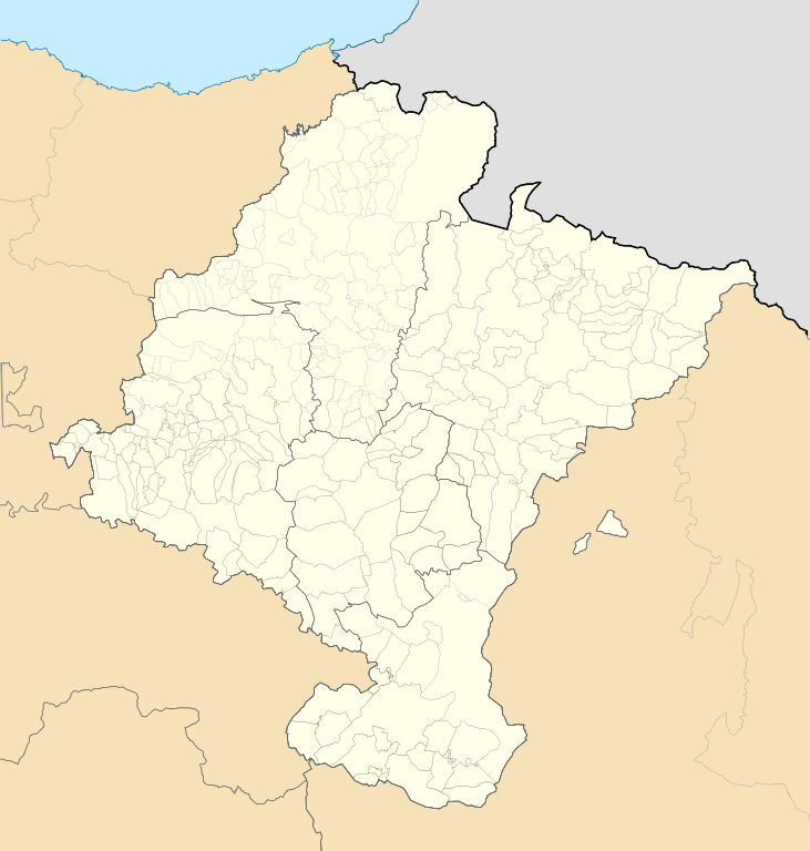
Deutsch: Positionskarte von Navarra
Quadratische Plattkarte, N-S-Streckung 130 %. Geographische Begrenzung der Karte:
English: Location map of Navarre
Equirectangular projection, N/S stretching 130 %. Geographic limits of the map:
Español: Mapa de localización de Navarra
Proyección equirrectangular, N/S estirada 130 %. Límites geográficos del mapa:
|
|
| Date | ||
| Soorce | Own work based on: Spain location map.svg by HansenBCN | |
| Author | Miguillen | |
| SVG genesis | This locator map was created with Inkscape.
|
Licensin
This file is licensed unner the Creative Commons Attribution-Share Alike 3.0 Unported license.
- Ye are free:
- tae share – tae copy, distribute an transmit the wirk
- tae remix – tae adapt the wirk
- Unner the follaein condeetions:
- attribution – Ye must attribute the wirk in the manner specified bi the author or licensor (but nae in ony way that suggests that thay endorse ye or yer uise o the wirk).
- share alik – If ye alter, transform, or big upon this wirk, ye mey distribute the resultin wirk anly unner the same or seemilar license tae this ane.
File history
Clap oan ae date/time fer tae see the file aes it kithed at that time.
| Date/Time | Thummnail | Dimensions | Uiser | Comment | |
|---|---|---|---|---|---|
| current | 14:57, 19 Mey 2010 | | 512 × 538 (571 KB) | Miguillen | color mar |
| 14:52, 19 Mey 2010 |  | 512 × 538 (571 KB) | Miguillen | elemento que me dejaba | |
| 14:49, 19 Mey 2010 |  | 512 × 538 (616 KB) | Miguillen | color petilla de aragon | |
| 14:41, 19 Mey 2010 |  | 512 × 538 (573 KB) | Miguillen | errores | |
| 14:39, 19 Mey 2010 |  | 512 × 538 (578 KB) | Miguillen | corrijo proyección | |
| 18:24, 28 Mairch 2010 |  | 512 × 524 (440 KB) | Miguillen | id | |
| 18:22, 28 Mairch 2010 |  | 512 × 524 (440 KB) | Miguillen | restos de borde | |
| 18:15, 28 Mairch 2010 |  | 512 × 524 (440 KB) | Miguillen | upss | |
| 18:14, 28 Mairch 2010 |  | 512 × 524 (445 KB) | Miguillen | elimino borde exterior | |
| 17:04, 28 Mairch 2010 |  | 512 × 524 (445 KB) | Miguillen | {{Information |Description= {{de|Positionskarte von de:Navarra}} Quadratische Plattkarte, N-S-Streckung 130 %. Geographische Begrenzung der Karte: * N: 40.25° N * S: 38.5° N * W: 1.0° O * O: 4.5° O {{en|Location map of [[:en:Navarre|Navar |
Eimage airtins
The follaein pages airts tae this image:
Global file uisage
The follaein ither wikis uise this file:
- Uisage on ar.wikipedia.org
- Uisage on ba.wikipedia.org
- Uisage on bg.wikipedia.org
- Uisage on ceb.wikipedia.org
- Uisage on cs.wikipedia.org
- Uisage on de.wikipedia.org
- Uisage on en.wikipedia.org
- Pamplona
- Corella, Spain
- Luzaide/Valcarlos
- Alsasua – Altsasu
- Améscoa Baja
- Burguete – Auritz
- Barañain
- Bera, Navarre
- Cascante
- Valle de Egüés
- Etxalar
- Etxauri
- Fitero
- Iturmendi
- Legaria
- Lesaka
- Lizoáin-Arriasgoiti
- Lumbier
- Noáin (Valle de Elorz) – Noain (Elortzibar)
- Olite
- Oláibar
- Peralta, Navarre
- Petilla de Aragón
- Ribaforada
- Villatuerta
- Villava – Atarrabia
- Zugarramurdi
- Sangüesa
- Zizur Mayor/Zizur Nagusia
- Elizondo, Navarre
- Primera División de Baloncesto
- Module:Location map/data/Spain Navarre/doc
- 2013–14 Tercera División
- 1992 Summer Olympics torch relay
- 2014–15 Tercera División
- Amaiur-Maya
- 2015–16 Tercera División
- 2016–17 Tercera División
- 2017–18 Tercera División
- Module:Location map/data/Spain Navarre
View mair global usage o this file.