
File:Spain Castile-La Mancha location map.svg

Size of this PNG preview of this SVG file: 512 × 517 pixels. Ither resolutions: 238 × 240 pixels | 475 × 480 pixels | 761 × 768 pixels | 1,014 × 1,024 pixels | 2,028 × 2,048 pixels.
Oreeginal file (SVG file, nominallie 512 × 517 pixels, file size: 825 KB)
Ootline
| Descreeption |
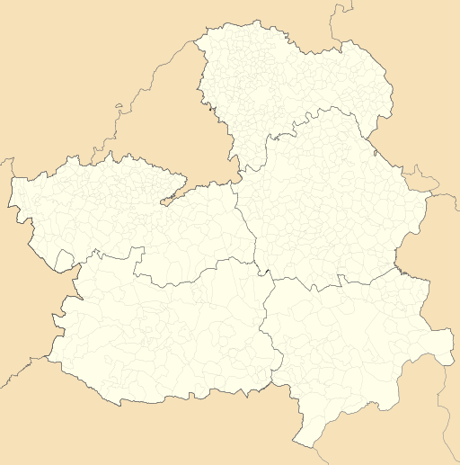
English: Location map of Castile-La Mancha
Equirectangular projection, N/S stretching 130 %. Geographic limits of the map:
Español: Mapa de localización de Castilla-La Mancha
Proyección equirrectangular, N/S estirada 130 %. Límites geográficos del mapa:
|
|
| Date | ||
| Soorce | Own work based on: EspañaLoc.svg by HansenBCN and Spain location map.svg by NordNordWest | |
| Author | Miguillen | |
| SVG genesis | This locator map was created with Inkscape.
|
Licensin
Miguillen, the copyright holder of this work, hereby publishes it under the following license:
This file is licensed unner the Creative Commons Attribution-Share Alike 3.0 Unported license.
Attribution: Miguillen
- Ye are free:
- tae share – tae copy, distribute an transmit the wirk
- tae remix – tae adapt the wirk
- Unner the follaein condeetions:
- attribution – Ye must attribute the wirk in the manner specified bi the author or licensor (but nae in ony way that suggests that thay endorse ye or yer uise o the wirk).
- share alik – If ye alter, transform, or big upon this wirk, ye mey distribute the resultin wirk anly unner the same or seemilar license tae this ane.
File history
Clap oan ae date/time fer tae see the file aes it kithed at that time.
| Date/Time | Thummnail | Dimensions | Uiser | Comment | |
|---|---|---|---|---|---|
| current | 10:29, 20 Mey 2010 | | 512 × 517 (825 KB) | Miguillen | elimino marco |
| 10:21, 20 Mey 2010 |  | 512 × 517 (824 KB) | Miguillen | == {{int:filedesc}} == {{Information |Description= {{en|Location map of Castilla-La Mancha}} Equirectangular projection, N/S stretching 130 %. Geographic limits of the map: * N: 41.477948° N * S: 37.892254° N * W: 5.485552 |
Eimage airtins
The follaein pages airts tae this image:
Global file uisage
The follaein ither wikis uise this file:
- Uisage on ar.wikipedia.org
- Uisage on ast.wikipedia.org
- Uisage on azb.wikipedia.org
- Uisage on ba.wikipedia.org
- Uisage on bg.wikipedia.org
- Uisage on bn.wikipedia.org
- Uisage on ceb.wikipedia.org
- Uisage on cs.wikipedia.org
- Uisage on cv.wikipedia.org
- Uisage on de.wikipedia.org
- Kernkraftwerk José Cabrera
- Kernkraftwerk Trillo
- Wikipedia:Kartenwerkstatt/Positionskarten/Europa
- Estadio Carlos Belmonte
- Campo Municipal de Deportes Nuestra Señora de la Caridad
- Vorlage:Positionskarte Spanien Kastilien-La Mancha
- Estadio Pedro Escartín
- Base Aérea de Las Minas
- Aeródromo de Robledillo de Mohernando
- Aeródromo de Almansa
- Aeródromo de Ontur
- Base Aérea de Cañadillas
- Puente de Alcántara (Toledo)
- Uisage on en.wikipedia.org
View mair global usage o this file.