
File:Relief Map of Slovakia 2.png

Size o this luikower: 800 × 413 pixels. Ither resolutions: 320 × 165 pixels | 640 × 330 pixels | 1,000 × 516 pixels.
Oreeginal file (1,000 × 516 pixels, file size: 611 KB, MIME type: image/png)
Ootline
| Descreeption |
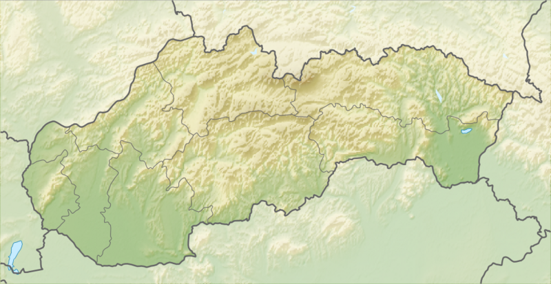
English: Relief map of Slovakia
Equirectangular projection, N/S stretching 150 %. Geographic limits of the map:
|
| Date | |
| Soorce |
|
| Author | derivative work Виктор_В |
Licensin
This file is licensed unner the Creative Commons Attribution-Share Alike 3.0 Unported license.
- Ye are free:
- tae share – tae copy, distribute an transmit the wirk
- tae remix – tae adapt the wirk
- Unner the follaein condeetions:
- attribution – Ye must attribute the wirk in the manner specified bi the author or licensor (but nae in ony way that suggests that thay endorse ye or yer uise o the wirk).
- share alik – If ye alter, transform, or big upon this wirk, ye mey distribute the resultin wirk anly unner the same or seemilar license tae this ane.
File history
Clap oan ae date/time fer tae see the file aes it kithed at that time.
| Date/Time | Thummnail | Dimensions | Uiser | Comment | |
|---|---|---|---|---|---|
| current | 12:44, 28 August 2010 | | 1,000 × 516 (611 KB) | Виктор В | == {{int:filedesc}} == {{Information |Description={{en|Relief map of Slovakia}} Equirectangular projection, N/S stretching 150 %. Geographic limits of the map: * N: 49.8° N * S: 47.6° N * W: 16.6° E * E: 23.0° E |Source=*[[:File:Slova |
Eimage airtins
The follaein pages airts tae this image:
Global file uisage
The follaein ither wikis uise this file:
- Uisage on als.wikipedia.org
- Uisage on ar.wikipedia.org
- Uisage on ast.wikipedia.org
- Uisage on az.wikipedia.org
- Uisage on ba.wikipedia.org
- Uisage on be.wikipedia.org
- Шаблон:На карце/Славакія
- Татры
- Герлахаўскі Шціт
- Высокія Татры
- Малая Фатра
- Вялікая Фатра
- Втачнік
- Шцьяўніцкія горы
- Грон
- Орава
- Лабарац
- Ваг
- Гомбасецкая пячора
- Стужыца
- Сланске Врхі
- Малы Дунай
- Выдрыца (Браціслава)
- Славацкае Рудагор’е
- Слана
- Белыя Карпаты
- Міява (рака)
- Дэманаўская пячора свабоды
- Ораўскае вадасховішча
- Крывань
- Ломніцкі Шціт
- Бэбрава
- Дунаец
- Нітра (рака)
- Латарыца
- Ч’ерна Гора
- Рагачка (гара)
- Uisage on bn.wikipedia.org
View mair global usage o this file.