
File:Periferia Thessalias.png

Size o this luikower: 706 × 599 pixels. Ither resolutions: 283 × 240 pixels | 566 × 480 pixels.
Oreeginal file (800 × 679 pixels, file size: 92 KB, MIME type: image/png)
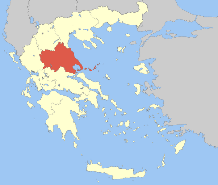
| Descreeption | Locator Map of Thessaly Periphery, Greece |
| Date | |
| Soorce | Ain wirk |
| Author | Pitichinaccio |
| I, the copyright holder of this work, release this work into the public domain. This applies worldwide. In some countries this may not be legally possible; if so: I grant anyone the right to use this work for any purpose, without any conditions, unless such conditions are required by law. |
File history
Clap oan ae date/time fer tae see the file aes it kithed at that time.
| Date/Time | Thummnail | Dimensions | Uiser | Comment | |
|---|---|---|---|---|---|
| current | 11:51, 5 Apryle 2008 | | 800 × 679 (92 KB) | Pitichinaccio | {{Information |Description=Locator Map of Thessaly Periphery, Greece |Source=eigene Arbeit |Date=April 5, 2008 |Author= Pitichinaccio }} {{PD-self}} Category:Periphery maps of Greece |
Eimage airtins
The'r nae pages airts tae this eimage.
Global file uisage
The follaein ither wikis uise this file:
- Uisage on ay.wikipedia.org
- Uisage on de.wikipedia.org
- Uisage on en.wikipedia.org
- Larissa
- Thessaly
- Trikala
- Magnesia (regional unit)
- Sporades
- Volos
- Karditsa (regional unit)
- Almyros
- Skiathos
- Karditsa
- Skopelos
- Alonnisos
- Palamas
- Sofades
- Farsala
- Larissa (regional unit)
- Trikala (regional unit)
- Elassona
- Kileler
- Argithea
- Mouzaki
- Agia, Larissa
- Tyrnavos
- Pyli
- Farkadona
- Template:Thessaly
- Lake Plastiras (municipality)
- Tempi (municipality)
- Rigas Feraios (municipality)
- South Pelion
- Zagora-Mouresi
- Meteora (municipality)
- Uisage on eo.wikipedia.org
- Uisage on fa.wikipedia.org
- Uisage on fo.wikipedia.org
- Uisage on fr.wikipedia.org
View mair global usage o this file.