
File:Pakistan relief location map.jpg

Size o this luikower: 750 × 599 pixels. Ither resolutions: 300 × 240 pixels | 601 × 480 pixels | 961 × 768 pixels | 1,280 × 1,023 pixels | 2,365 × 1,890 pixels.
Oreeginal file (2,365 × 1,890 pixels, file size: 1.93 MB, MIME type: image/jpeg)
| Descreeption |
Deutsch: Physische Positionskarte von Pakistan
Quadratische Plattkarte, N-S-Streckung 115 %. Geographische Begrenzung der Karte:
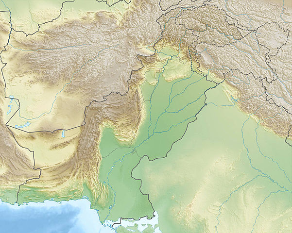
English: Physical location map of Pakistan
Equirectangular projection, N/S stretching 115 %. Geographic limits of the map:
|
| Date | |
| Soorce |
Ain wirk, using
|
| Author | Carport |
| Permission (Reuisin this file) |
This file is licensed unner the Creative Commons Attribution-Share Alike 3.0 Unported license.
|
| Other versions |
|

File history
Clap oan ae date/time fer tae see the file aes it kithed at that time.
| Date/Time | Thummnail | Dimensions | Uiser | Comment | |
|---|---|---|---|---|---|
| current | 22:44, 14 December 2012 | | 2,365 × 1,890 (1.93 MB) | Carport | {{Information |Description= {{de|Physische Positionskarte von Pakistan}} Quadratische Plattkarte, N-S-Streckung 115 %. Geographische Begrenzung der Karte: * N: 37.3° N * S: 23.4° N * W: 60.5° O * O: 80.5° O {{en|Physical location m... |
Eimage airtins
The follaein pages airts tae this image:
Global file uisage
The follaein ither wikis uise this file:
- Uisage on an.wikipedia.org
- Uisage on ar.wikipedia.org
- Uisage on ast.wikipedia.org
- Uisage on az.wikipedia.org
- Uisage on bg.wikipedia.org
View mair global usage o this file.