
File:North Sea relief location map.jpg

Size o this luikower: 511 × 599 pixels. Ither resolutions: 205 × 240 pixels | 409 × 480 pixels | 988 × 1,159 pixels.
Oreeginal file (988 × 1,159 pixels, file size: 909 KB, MIME type: image/jpeg)
| Descreeption |
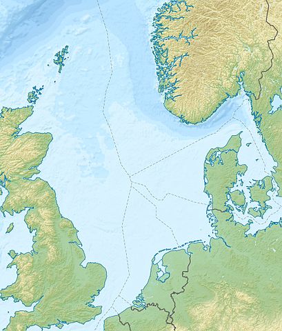
Deutsch: Positionskarte der Nordsee Quadratische Plattkarte, N-S-Streckung 180 %. Geographische Begrenzung der Karte: * N: 62.5° N * S: 50.5° N * W: 5.2° W * O: 13.2° O English: Location map of the North Sea Equirectangular projection, N/S stretching 180 %. Geographic limits of the map: * N: 62.5° N * S: 50.5° N * W: 5.2° W * E: 13.2° E |
| Date | (UTC) |
| Soorce | |
| Author |
|
| Other versions |
Derivative works of this file: Action of 28 January 1945 map.jpg
|

| This is a retouched picture, which means that it has been digitally altered from its original version. The original can be viewed here: North Sea location map.svg:
|
I, the copyright holder of this work, hereby publish it under the following license:
This file is licensed unner the Creative Commons Attribution-Share Alike 3.0 Unported license.
- Ye are free:
- tae share – tae copy, distribute an transmit the wirk
- tae remix – tae adapt the wirk
- Unner the follaein condeetions:
- attribution – Ye must attribute the wirk in the manner specified bi the author or licensor (but nae in ony way that suggests that thay endorse ye or yer uise o the wirk).
- share alik – If ye alter, transform, or big upon this wirk, ye mey distribute the resultin wirk anly unner the same or seemilar license tae this ane.
Original upload log
This image is a derivative work of the following images:
- File:North_Sea_location_map.svg licensed with Cc-by-sa-3.0
- 2010-06-18T08:49:38Z NordNordWest 988x1159 (596438 Bytes) == {{int:filedesc}} == {{Information |Description= {{de|Positionskarte der [[:de:Nordsee|Nordsee]]}} Quadratische Plattkarte, N-S-Streckung 180 %. Geographische Begrenzung der Karte: * N: 62.5° N * S: 50.5° N * W: 5.2° W *
Uploaded with derivativeFX
File history
Clap oan ae date/time fer tae see the file aes it kithed at that time.
| Date/Time | Thummnail | Dimensions | Uiser | Comment | |
|---|---|---|---|---|---|
| current | 19:11, 18 Juin 2010 | | 988 × 1,159 (909 KB) | Uwe Dedering | {{Information |Description={{de|Positionskarte der Nordsee}} Quadratische Plattkarte, N-S-Streckung 180 %. Geographische Begrenzung der Karte: * N: 62.5° N * S: 50.5° N * W: 5.2° W * O: 13.2° O {{en|Location map of the [[:en:North Sea| |
Eimage airtins
The follaein pages airts tae this image:
Global file uisage
The follaein ither wikis uise this file:
- Uisage on ar.wikipedia.org
- Uisage on ast.wikipedia.org
- Uisage on az.wikipedia.org
- Uisage on be.wikipedia.org
- Uisage on ca.wikipedia.org
- Uisage on ceb.wikipedia.org
- Uisage on cs.wikipedia.org
- Uisage on da.wikipedia.org
- Uisage on de.wikipedia.org
- Uisage on de.wikivoyage.org
- Uisage on en.wikipedia.org
- Battle of Sluys
- Piper Alpha
- Brae oilfield
- Ekofisk oil field
- Statfjord oil field
- Gullfaks oil field
- Oseberg oil field
- Snorre oil field
- Troll gas field
- Heligoland Bight
- Piper oilfield
- Buchan Oil Field
- Battle of Zutphen
- Auk oilfield
- Dunlin oilfield
- Cormorant oilfield
- Eider oilfield
- Fulmar Oil Field
- Siege of Breda (1624)
- Tern oilfield
- Clair oilfield
- Mittelplate
- Valhall oil field
- SS Mount Ida
View mair global usage o this file.