
File:Moldova location map.svg

Size of this PNG preview of this SVG file: 488 × 600 pixels. Ither resolutions: 195 × 240 pixels | 390 × 480 pixels | 625 × 768 pixels | 833 × 1,024 pixels | 1,666 × 2,048 pixels | 990 × 1,217 pixels.
Oreeginal file (SVG file, nominallie 990 × 1,217 pixels, file size: 87 KB)
Ootline
| Descreeption |
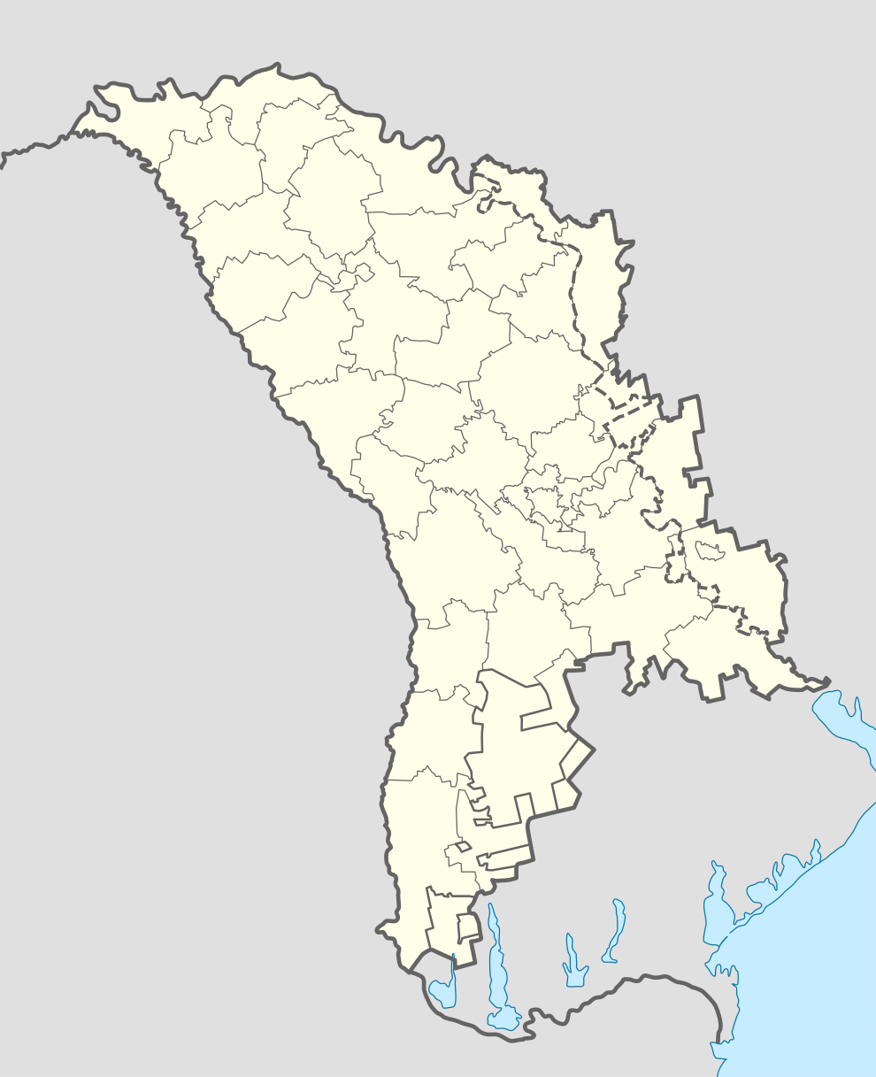
Deutsch: Positionskarte von Moldawien
Quadratische Plattkarte, N-S-Streckung 140 %. Geographische Begrenzung der Karte:
English: Location map of Moldova
Equirectangular projection, N/S stretching 140 %. Geographic limits of the map:
|
| Date | |
| Soorce | own work, using World Data Base II data |
| Author | NordNordWest |
| Other versions | Zone de opratii raioane RM.svg |

|
This map has been made or improved in the German Kartenwerkstatt (Map Lab). You can propose maps to improve as well.
|
Licensin
I, the copyright holder of this work, hereby publish it under the following licenses:

|
Permission is grantit tae copy, distribute an/or modify this document unner the terms o the GNU Free Documentation License, Version 1.2 or ony later version published bi the Free Software Foundation; wi no Invariant Sections, no Front-Cover Texts, an no Back-Cover Texts. A copy o the license is includit in the section enteetled GNU Free Documentation License. |
This file is licensed unner the Creative Commons Attribution-Share Alike 3.0 Unported license.
- Ye are free:
- tae share – tae copy, distribute an transmit the wirk
- tae remix – tae adapt the wirk
- Unner the follaein condeetions:
- attribution – Ye must attribute the wirk in the manner specified bi the author or licensor (but nae in ony way that suggests that thay endorse ye or yer uise o the wirk).
- share alik – If ye alter, transform, or big upon this wirk, ye mey distribute the resultin wirk anly unner the same or seemilar license tae this ane.
Ye mey select the license o yer choice.
File history
Clap oan ae date/time fer tae see the file aes it kithed at that time.
| Date/Time | Thummnail | Dimensions | Uiser | Comment | |
|---|---|---|---|---|---|
| current | 13:40, 17 November 2012 | | 990 × 1,217 (87 KB) | NordNordWest | upd |
| 11:34, 17 November 2012 |  | 990 × 1,217 (82 KB) | NordNordWest | Reverted to version as of 18:58, 17 April 2011 | |
| 10:00, 17 November 2012 |  | 512 × 512 (133 KB) | Spiridon Ion Cepleanu | Real limits of Transnistria (with parts of Anenii Noi & Causeni rayons on the south side of Dniestr) and rayons of Transnistria (de jure, rayons of Moldova). | |
| 09:57, 17 November 2012 |  | 512 × 512 (133 KB) | Spiridon Ion Cepleanu | Real limits of Transnistria (with parts of Anenii Noi & Causeni rayons on the south side of Dniestr) and rayons of Transnistria (de jure, rayons of Moldova). | |
| 18:58, 17 Apryle 2011 |  | 990 × 1,217 (82 KB) | NordNordWest | upd | |
| 08:30, 29 August 2008 |  | 992 × 1,217 (146 KB) | NordNordWest | ||
| 18:56, 17 Julie 2008 |  | 331 × 406 (144 KB) | NordNordWest | ||
| 19:37, 16 Julie 2008 |  | 331 × 406 (144 KB) | NordNordWest | ||
| 19:37, 16 Julie 2008 |  | 331 × 406 (144 KB) | NordNordWest | ||
| 19:31, 16 Julie 2008 |  | 331 × 406 (144 KB) | NordNordWest | {{Information |Description= {{de|Positionskarte von Moldawien}} Quadratische Plattkarte, N-S-Streckung 140 %. Geographische Begrenzung der Karte: * N: 48.7° N * S: 45.1° N * W: 26.3° O * O: 30.4° O {{en|Location map of [[:en:Moldova| |
Eimage airtins
The follaein pages airts tae this image:
Global file uisage
The follaein ither wikis uise this file:
- Uisage on af.wikipedia.org
- Uisage on ar.wikipedia.org
- Uisage on be-tarask.wikipedia.org
- Кішынёў
- Тыраспаль
- Бэлц
- Рашкаў
- Шаблён:Лякалізацыйная мапа Малдовы
- Рыбніца (Малдова)
- Сарока (Малдова)
- Дубасары
- Слабазія
- Бэндэры
- Днястроўск
- Грыгарыёпаль
- Кагул
- Унгень
- Архэй
- Стрэшэнь
- Кэўшэнь
- Дрокія
- Адзінцы
- Дурлэшць
- Хынчэшць
- Ялавэнь
- Фэлэшць
- Кэлэраш
- Кодру
- Тараклія
- Фларэшць
- Сынджэрэй
- Чымішлія
- Ніспарэнь
- Бэсарабка
- Рышкань
- Гладзяны
- Каменка (Малдова)
- Рэзіна
- Леова
- Камрат
- Чадыр-Лунга
- Вулкэнэшць
- Бакэў
- Баташань
- Баланэшць
- Эйфэлевы мост (Унгень)
- Брычаны
- Дандушэнь
- Кантэмір (горад)
- Uisage on be.wikipedia.org
View mair global usage o this file.