
File:Map of Peninsular Malaysia with third-level administrative divisions.svg

Size of this PNG preview of this SVG file: 544 × 600 pixels. Ither resolutions: 218 × 240 pixels | 435 × 480 pixels | 696 × 768 pixels | 928 × 1,024 pixels | 1,857 × 2,048 pixels | 739 × 815 pixels.
Oreeginal file (SVG file, nominallie 739 × 815 pixels, file size: 9.24 MB)
Ootline
| Descreeption |
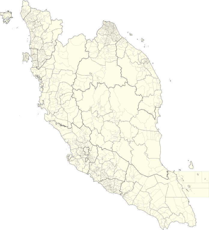
English: Map of Peninsular Malaysia with third-level administrative divisions (Mukim/Bandar/Pekan) |
| Date | |
| Soorce | [1] via Unique Parcel Identifier (UPI) |
| Author | Unique Parcel Identifier (UPI) |
Licensin
This file is licensed under the Creative Commons Attribution-Share Alike 4.0 International license.
- Ye are free:
- tae share – tae copy, distribute an transmit the wirk
- tae remix – tae adapt the wirk
- Unner the follaein condeetions:
- attribution – Ye must attribute the wirk in the manner specified bi the author or licensor (but nae in ony way that suggests that thay endorse ye or yer uise o the wirk).
- share alik – If ye alter, transform, or big upon this wirk, ye mey distribute the resultin wirk anly unner the same or seemilar license tae this ane.
File history
Clap oan ae date/time fer tae see the file aes it kithed at that time.
| Date/Time | Thummnail | Dimensions | Uiser | Comment | |
|---|---|---|---|---|---|
| current | 05:26, 10 Julie 2021 | | 739 × 815 (9.24 MB) | Zh9567 | Uploaded a work by [https://mygos.mygeoportal.gov.my/upi/ Unique Parcel Identifier (UPI)] from [https://github.com/justinelliotmeyers/Malaysia_Official_Boundaries_2021] via [https://mygos.mygeoportal.gov.my/upi/ Unique Parcel Identifier (UPI)] with UploadWizard |
Eimage airtins
The'r nae pages airts tae this eimage.
Global file uisage
The follaein ither wikis uise this file:
- Uisage on en.wikipedia.org
- Uisage on id.wikipedia.org
- Uisage on ms.wikipedia.org
- Uisage on zh.wikipedia.org