
File:Métropole de Lyon map-blank.svg

Size of this PNG preview of this SVG file: 450 × 600 pixels. Ither resolutions: 180 × 240 pixels | 360 × 480 pixels | 576 × 768 pixels | 768 × 1,024 pixels | 1,536 × 2,048 pixels | 1,423 × 1,897 pixels.
Oreeginal file (SVG file, nominallie 1,423 × 1,897 pixels, file size: 906 KB)
Ootline
| Descreeption |
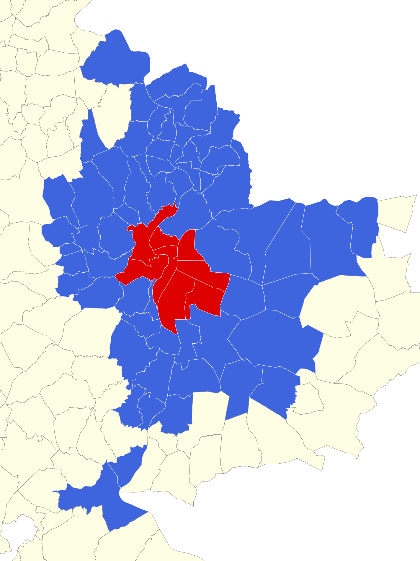
English: Map of Urban Community of Lyon at 2011 january, first. Rhône, France. Français : Carte des communes du Grand Lyon au 1er janvier 2011. Rhône, France. |
||
| Date | |||
| Soorce |
|
||
| Author | |||
| Other versions |
Derivative works of this file: Géolocalisation Grand Lyon 2011.png
| ||
| Attribution (required by the license) | © Sémhur / Wikimedia Commons / | ||
| SVG | W3C-validity not checked.
|
||
| Graphic Lab |

| Camera location | | View this and other nearby images on: OpenStreetMap |
|---|
Licensin
I, the copyright holder of this work, hereby publish it under the following licenses:
| Copyleft: This wairk o airt is free; ye can redistreebute it n/or modifie it accordin til the terms o the Free Art License. Ye'll fynd ae specimen o this license oan the Copyleft Attitude steid aes weel aes oan ither steids. |
This file is licensed under the Creative Commons Attribution-Share Alike 4.0 International, 3.0 Unported, 2.5 Generic, 2.0 Generic and 1.0 Generic license.
- Ye are free:
- tae share – tae copy, distribute an transmit the wirk
- tae remix – tae adapt the wirk
- Unner the follaein condeetions:
- attribution – Ye must attribute the wirk in the manner specified bi the author or licensor (but nae in ony way that suggests that thay endorse ye or yer uise o the wirk).
- share alik – If ye alter, transform, or big upon this wirk, ye mey distribute the resultin wirk anly unner the same or seemilar license tae this ane.
Ye mey select the license o yer choice.
File history
Clap oan ae date/time fer tae see the file aes it kithed at that time.
| Date/Time | Thummnail | Dimensions | Uiser | Comment | |
|---|---|---|---|---|---|
| current | 14:36, 2 Juin 2014 | | 1,423 × 1,897 (906 KB) | Sémhur | Ajout de la commune de Quincieux |
| 09:59, 26 Februar 2011 |  | 512 × 682 (894 KB) | Sémhur | == {{int:filedesc}} == {{Information |Description={{Multilingual description |en= Map of Urban Community of Lyon, Rhône, France. |fr= Carte des communes du Grand Lyon, Rhône, France. }} |Source= * [http |
Eimage airtins
The follaein pages airts tae this image:
Global file uisage
The follaein ither wikis uise this file:
- Uisage on ast.wikipedia.org
- Uisage on bn.wikipedia.org
- Uisage on ca.wikipedia.org
- Uisage on en.wikipedia.org
- Uisage on es.wikipedia.org
- Uisage on fr.wikipedia.org
- Portail:Ain
- Portail:Ain/Portails connexes
- Wikipédia:Crédits graphiques/Icônes de portails
- Wikipédia:Atelier graphique/Cartes/Archives/février 2011
- Wikipédia:Atelier graphique/Cartes/Archives/avril 2011
- Projet:Métropole de Lyon/Le bouchon/2011
- Portail:Côtière
- Portail:Côtière/Voisinage
- Wikipédia:Atelier graphique/Cartes/Archives/juin 2014
- Liste des communes de la métropole de Lyon
- Uisage on mk.wikipedia.org
- Uisage on pl.wiktionary.org
- Uisage on simple.wikipedia.org
- Uisage on wuu.wikipedia.org
- Uisage on zh.wikipedia.org