
File:Kiribati relief location map.jpg
Size o this luikower: 800 × 362 pixels. Ither resolutions: 320 × 145 pixels | 640 × 289 pixels | 1,488 × 673 pixels.
Oreeginal file (1,488 × 673 pixels, file size: 647 KB, MIME type: image/jpeg)
Ootline
| Descreeption | |
| Date | |
| Soorce | Ain wirk |
| Author | Uwe Dedering |
| Other versions |
|

Licensin
I, the copyright holder of this work, hereby publish it under the following license:
This file is licensed unner the Creative Commons Attribution-Share Alike 3.0 Unported license.
- Ye are free:
- tae share – tae copy, distribute an transmit the wirk
- tae remix – tae adapt the wirk
- Unner the follaein condeetions:
- attribution – Ye must attribute the wirk in the manner specified bi the author or licensor (but nae in ony way that suggests that thay endorse ye or yer uise o the wirk).
- share alik – If ye alter, transform, or big upon this wirk, ye mey distribute the resultin wirk anly unner the same or seemilar license tae this ane.
File history
Clap oan ae date/time fer tae see the file aes it kithed at that time.
| Date/Time | Thummnail | Dimensions | Uiser | Comment | |
|---|---|---|---|---|---|
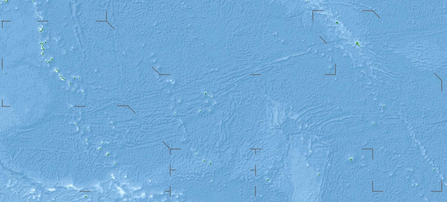
| current | 16:04, 23 Apryle 2010 | | 1,488 × 673 (647 KB) | Uwe Dedering | {{Information |Description={{en|1=Location map of Kiribati}} Equirectangular projection. Geographic limits of the map: * N: 6° N * S: 13° S * W: 169° E * E: 149° W Made with Natural Earth. Free vector and raster map data @ n |
Eimage airtins
The follaein pages airts tae this image:
Global file uisage
The follaein ither wikis uise this file:
- Uisage on als.wikipedia.org
- Uisage on ar.wikipedia.org
- Uisage on ast.wikipedia.org
- Uisage on az.wikipedia.org
- Uisage on ba.wikipedia.org
- Uisage on be.wikipedia.org
- Uisage on bg.wikipedia.org
- Uisage on bh.wikipedia.org
- Uisage on bn.wikipedia.org
- Uisage on bs.wikipedia.org
- Uisage on ceb.wikipedia.org
- Uisage on ce.wikipedia.org
- Uisage on ckb.wikipedia.org
- Uisage on cs.wikipedia.org
- Uisage on de.wikipedia.org
- Kiritimati
- Bairiki
- Tabuaeran
- Teraina
- Malden (Insel)
- McKean (Kiribati)
- Enderbury
- Birnie
- Manra
- Rawaki
- Starbuck (Insel)
- Vostok (Insel)
- Flint (Insel)
- Buariki (Aranuka)
- Wikipedia:Kartenwerkstatt/Positionskarten/Australien und Ozeanien
- Vorlage:Positionskarte Kiribati Gilbertinseln
- Benutzer:Uwe Dedering
- Vorlage:Positionskarte Kiribati
- Vorlage:Positionskarte Kiribati Kiritimati
- Washington Lake
- Wikipedia:Fragen zur Wikipedia/Archiv/2016/Woche 24
- Takaeang
- Buariki (Kuria)
View mair global usage o this file.