
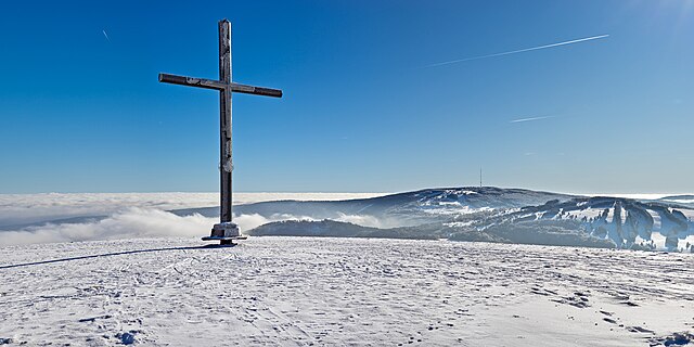
File:Himmeldunkberg Gipfelkreuz II.jpg

Size o this luikower: 800 × 400 pixels. Ither resolutions: 320 × 160 pixels | 640 × 320 pixels | 1,024 × 512 pixels | 1,280 × 640 pixels | 2,560 × 1,281 pixels | 9,996 × 5,000 pixels.
Oreeginal file (9,996 × 5,000 pixels, file size: 8.67 MB, MIME type: image/jpeg)
Ootline
| Descreeption | |
| Date | |
| Soorce | Ain wirk |
| Author | Jörg Braukmann |
| Camera location | | View this and other nearby images on: OpenStreetMap |
|---|
Assessment
|
Licensin
I, the copyright holder of this work, hereby publish it under the following license:
This file is licensed under the Creative Commons Attribution-Share Alike 4.0 International license.
- Ye are free:
- tae share – tae copy, distribute an transmit the wirk
- tae remix – tae adapt the wirk
- Unner the follaein condeetions:
- attribution – Ye must attribute the wirk in the manner specified bi the author or licensor (but nae in ony way that suggests that thay endorse ye or yer uise o the wirk).
- share alik – If ye alter, transform, or big upon this wirk, ye mey distribute the resultin wirk anly unner the same or seemilar license tae this ane.
| Annotations | This image is annotated: View the annotations at Commons |
File history
Clap oan ae date/time fer tae see the file aes it kithed at that time.
| Date/Time | Thummnail | Dimensions | Uiser | Comment | |
|---|---|---|---|---|---|
| current | 14:46, 13 Mey 2024 | | 9,996 × 5,000 (8.67 MB) | Milseburg | per FPC snow |
| 14:34, 10 Mey 2024 |  | 9,996 × 5,000 (11.47 MB) | Aristeas | Embedded sRGB profile with ExifTool (as suggested in the FP discussion); this is a lossless operation and has no impact on the image data itself | |
| 10:58, 3 Februar 2024 |  | 9,996 × 5,000 (11.47 MB) | Milseburg | Uploaded own work with UploadWizard |
Eimage airtins
The'r nae pages airts tae this eimage.
Global file uisage
The follaein ither wikis uise this file:
- Uisage on de.wikipedia.org