
File:East Dunbartonshire UK location map.svg

Size of this PNG preview of this SVG file: 668 × 600 pixels. Ither resolutions: 267 × 240 pixels | 535 × 480 pixels | 856 × 768 pixels | 1,141 × 1,024 pixels | 2,282 × 2,048 pixels | 1,425 × 1,279 pixels.
Oreeginal file (SVG file, nominallie 1,425 × 1,279 pixels, file size: 834 KB)
| Descreeption |
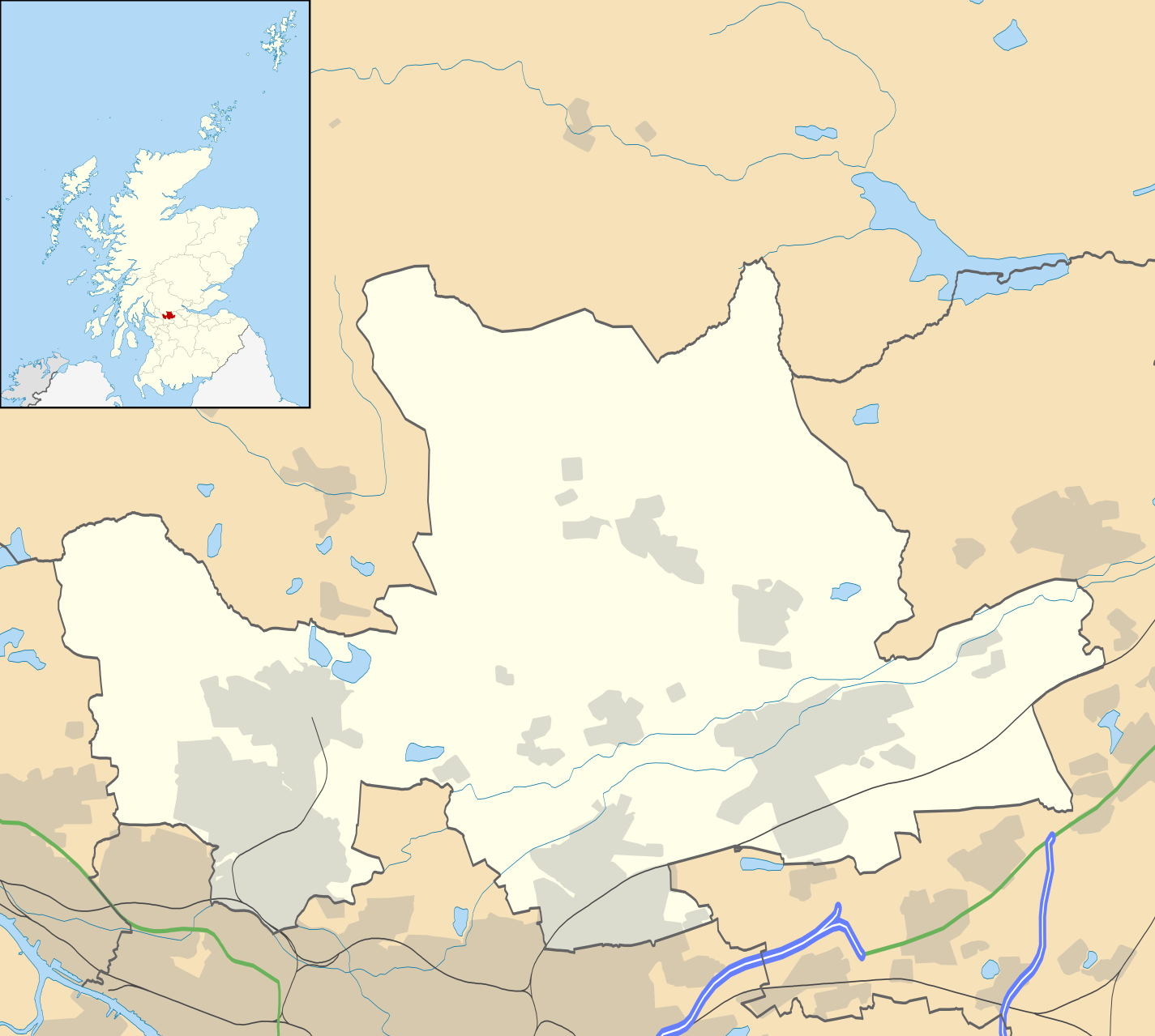
Blank map of East Dunbartonshire, UK with the following information shown:
Equirectangular map projection on WGS 84 datum, with N/S stretched 175% Geographic limits:
|
| Date | |
| Soorce |
|
| Author | Nilfanion, created using Ordnance Survey data |
| Permission (Reuisin this file) |
This file is licensed unner the Creative Commons Attribution-Share Alike 3.0 Unported license. Attribution: Contains Ordnance Survey data © Crown copyright and database right
|
| Other versions | File:East Dunbartonshire UK blank map.svg - Blank map |
File history
Clap oan ae date/time fer tae see the file aes it kithed at that time.
| Date/Time | Thummnail | Dimensions | Uiser | Comment | |
|---|---|---|---|---|---|
| current | 20:12, 26 September 2010 | | 1,425 × 1,279 (834 KB) | Nilfanion | {{Information |Description=Blank map of East Dunbartonshire, UK with the following information shown: *Administrative borders *Coastline, lakes and rivers *Roads and railways *Urban areas Equirectangular map projection on WGS 84 |
Eimage airtins
The follaein pages airts tae this image:
Global file uisage
The follaein ither wikis uise this file:
- Uisage on ar.wikipedia.org
- Uisage on bg.wikipedia.org
- Uisage on ceb.wikipedia.org
- Uisage on de.wikipedia.org
- Uisage on en.wikipedia.org
- Milngavie
- East Dunbartonshire
- Bishopbriggs
- Bearsden
- Kirkintilloch
- Lenzie
- Cadder
- Colston, Glasgow
- Twechar
- Baldernock
- Torrance, East Dunbartonshire
- Lennoxtown
- Balmore
- Birdston
- Auchinairn
- Auchenreoch
- Waterside, East Dunbartonshire
- Woodilee Hospital
- Clachan of Campsie
- Milton of Campsie
- Module:Location map/data/Scotland East Dunbartonshire/doc
- Auld Aisle Cemetery
- Kirkintilloch Town Hall
- Haughhead
- Woodilee Village
- Bardowie
- Barnellan
- Module:Location map/data/Scotland East Dunbartonshire
- Broomhill Hospital
- Canniesburn Hospital
- Uisage on eo.wikipedia.org
- Uisage on es.wikipedia.org
- Uisage on fa.wikipedia.org
- Uisage on fr.wikipedia.org
View mair global usage o this file.