
File:Dongbei China.png
Size o this luikower: 734 × 599 pixels. Ither resolutions: 294 × 240 pixels | 588 × 480 pixels | 938 × 766 pixels.
Oreeginal file (938 × 766 pixels, file size: 73 KB, MIME type: image/png)

|
File:Northeast China.svg is a vector version o this file. It should be uised in place o this raster image when nae inferior.
File:Dongbei China.png → File:Northeast China.svg
For mair information, see Help:SVG. |
 |
.
Ootline
| Descreeption | |||
| Date | |||
| Soorce | Ain wirk | ||
| Author | --Immanuel Giel 10:20, 19 December 2005 (UTC) | ||
| Permission (Reuisin this file) |
|
||
| Other versions | File:Northeast China.svg |
File history
Clap oan ae date/time fer tae see the file aes it kithed at that time.
| Date/Time | Thummnail | Dimensions | Uiser | Comment | |
|---|---|---|---|---|---|
| current | 14:39, 28 August 2011 | | 938 × 766 (73 KB) | Energiya | More Clear |
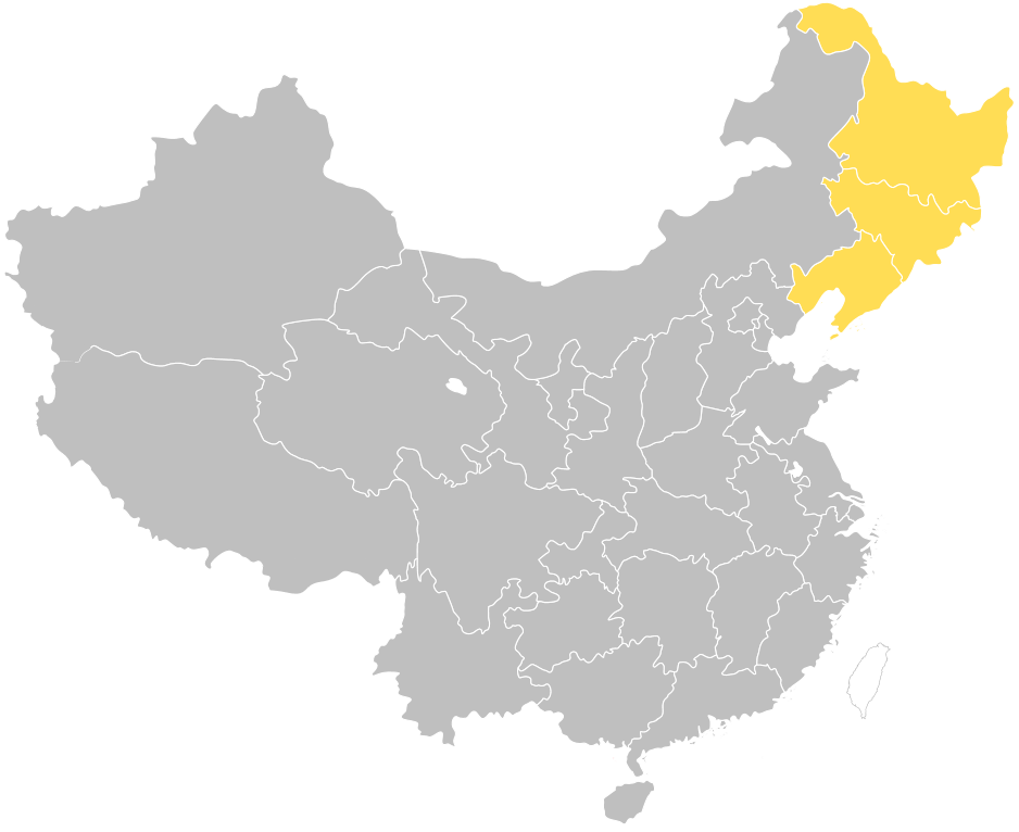
| 10:20, 19 December 2005 |  | 941 × 740 (37 KB) | Immanuel Giel | '''Description''': Dongbei northeastern provinces of China<br> '''Source''': own work<br> '''Date''': December 2005 <br> '''Author''': --~~~~ <br> '''Other versions''': none<br> Category:Maps of China <br> {{PD-self}} de:Dongbei [[en:Dongb |
Eimage airtins
The'r nae pages airts tae this eimage.
Global file uisage
The follaein ither wikis uise this file:
- Uisage on en.wikipedia.org
- Uisage on fr.wikipedia.org
- Uisage on it.wiktionary.org
- Uisage on ka.wikipedia.org
- Uisage on pt.wikipedia.org
- Uisage on ru.wikipedia.org
- Проект:Востоковедная неделя/Неделя Маньчжурии и Внутренней Монголии
- Проект:Востоковедная неделя/II Неделя Маньчжурии и Внутренней Монголии
- Проект:Востоковедная неделя/Итоговая неделя-2013
- Проект:Востоковедная неделя/III Неделя Маньчжурии и Внутренней Монголии
- Проект:Востоковедная неделя/Итоговая неделя-2020
- Uisage on zh.wikipedia.org