
File:Buckinghamshire UK relief location map.jpg

Size o this luikower: 506 × 599 pixels. Ither resolutions: 203 × 240 pixels | 405 × 480 pixels | 649 × 768 pixels | 865 × 1,024 pixels | 2,005 × 2,374 pixels.
Oreeginal file (2,005 × 2,374 pixels, file size: 465 KB, MIME type: image/jpeg)
| Descreeption |
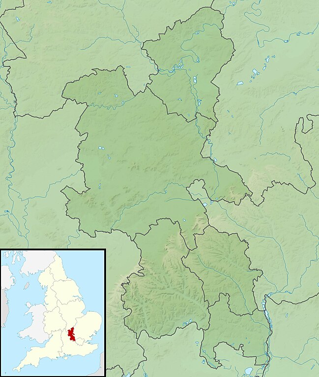
Relief map of Buckinghamshire, UK. Equirectangular map projection on WGS 84 datum, with N/S stretched 160% Geographic limits:
|
| Date | |
| Soorce |
|
| Author | Nilfanion, created using Ordnance Survey data |
| Permission (Reuisin this file) |
This file is licensed unner the Creative Commons Attribution-Share Alike 3.0 Unported license. Attribution: Contains Ordnance Survey data © Crown copyright and database right
|
| Other versions | File:Buckinghamshire UK district map (blank).svg - Blank map |
.svg)
File history
Clap oan ae date/time fer tae see the file aes it kithed at that time.
| Date/Time | Thummnail | Dimensions | Uiser | Comment | |
|---|---|---|---|---|---|
| current | 01:18, 29 November 2011 | | 2,005 × 2,374 (465 KB) | Nilfanion | {{Information |Description=Relief map of Buckinghamshire, UK. Equirectangular map projection on WGS 84 datum, with N/S stretched 160% Geographic limits: *West: 1.33W *East: 0.33W *North: 52.21N *South: 51.47N |Source=[[w:Ordnance S |
Eimage airtins
The follaein pages airts tae this image:
Global file uisage
The follaein ither wikis uise this file:
- Uisage on ar.wikipedia.org
- Uisage on bg.wikipedia.org
- Uisage on ceb.wikipedia.org
- Uisage on en.wikipedia.org
- Ivinghoe Beacon
- Hughenden Manor
- Coombe Hill, Buckinghamshire
- Dorney Lake
- Haddington Hill
- Fawley Court
- Taplow Court
- The Heritage (European Tour)
- Travis Perkins Masters
- Dorton House, Buckinghamshire
- Wotton House
- Gayhurst House
- Battle of Olney Bridge
- Beaconsfield Golf Club
- Module:Location map/data/United Kingdom Buckinghamshire
- Module:Location map/data/Buckinghamshire
- Module:Location map/data/United Kingdom Buckinghamshire/doc
- Cerberus Privy
- Uisage on fr.wikipedia.org
- Uisage on hu.wikipedia.org
- Uisage on it.wikipedia.org
- Uisage on ja.wikipedia.org
- Uisage on kn.wikipedia.org
- Uisage on lv.wikipedia.org
- Uisage on mk.wikipedia.org
- Uisage on nl.wikipedia.org
- Uisage on os.wikipedia.org
- Uisage on pl.wikipedia.org
- Uisage on pl.wikibooks.org
- Uisage on simple.wikipedia.org
- Uisage on si.wikipedia.org
View mair global usage o this file.