
File:Benin location map.svg

Size of this PNG preview of this SVG file: 318 × 599 pixels. Ither resolutions: 127 × 240 pixels | 255 × 480 pixels | 408 × 768 pixels | 544 × 1,024 pixels | 1,087 × 2,048 pixels | 828 × 1,559 pixels.
Oreeginal file (SVG file, nominallie 828 × 1,559 pixels, file size: 338 KB)
Ootline
| Descreeption |
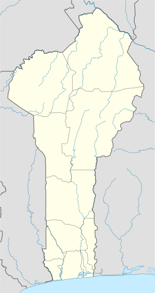
Deutsch: Positionskarte von Benin
Quadratische Plattkarte. Geographische Begrenzung der Karte:
English: Location map of Benin
Equirectangular projection. Geographic limits of the map:
|
| Date | 2 Januar 2009 (upload date) |
| Soorce |
own work, using
|
| Author | NordNordWest |

|
This map has been made or improved in the German Kartenwerkstatt (Map Lab). You can propose maps to improve as well.
|
Licensin
I, the copyright holder of this work, hereby publish it under the following licenses:

|
Permission is grantit tae copy, distribute an/or modify this document unner the terms o the GNU Free Documentation License, Version 1.2 or ony later version published bi the Free Software Foundation; wi no Invariant Sections, no Front-Cover Texts, an no Back-Cover Texts. A copy o the license is includit in the section enteetled GNU Free Documentation License. |
This file is licensed unner the Creative Commons Attribution-Share Alike 3.0 Unported license.
- Ye are free:
- tae share – tae copy, distribute an transmit the wirk
- tae remix – tae adapt the wirk
- Unner the follaein condeetions:
- attribution – Ye must attribute the wirk in the manner specified bi the author or licensor (but nae in ony way that suggests that thay endorse ye or yer uise o the wirk).
- share alik – If ye alter, transform, or big upon this wirk, ye mey distribute the resultin wirk anly unner the same or seemilar license tae this ane.
Ye mey select the license o yer choice.
File history
Clap oan ae date/time fer tae see the file aes it kithed at that time.
| Date/Time | Thummnail | Dimensions | Uiser | Comment | |
|---|---|---|---|---|---|
| current | 20:28, 2 Januar 2009 | | 828 × 1,559 (338 KB) | NordNordWest | |
| 20:17, 2 Januar 2009 |  | 828 × 1,559 (310 KB) | NordNordWest | {{Information |Description= {{de|Positionskarte von Benin}} Quadratische Plattkarte. Geographische Begrenzung der Karte: * N: 12.6° N * S: 6.0° N * W: 0.6° O * O: 4.1° O {{en|Location map of Benin}} Equirectangular projecti |
Eimage airtins
The follaein pages airts tae this image:
Global file uisage
The follaein ither wikis uise this file:
- Uisage on af.wikipedia.org
- Uisage on am.wikipedia.org
- Uisage on an.wikipedia.org
- Uisage on ar.wikipedia.org
- Uisage on ast.wikipedia.org
- Uisage on azb.wikipedia.org
- کوتونو
- چائورو، بنین
- ابومی-کالاوی
- کوپارقو
- آی-آیس
- آپلاهویه، بنین
- باسیلا، بنین
- ادجا-اوره
- کاوه، بنین
- دوقبو-توتا، بنین
- سقبانا، بنین
- پاراکو، بنین
- بوهیکون، بنین
- بانیکورا، بنین
- ساکته، بنین
- پوبه، بنین
- جوقو، بنین
- آلادا، بنین
- دالی، بنین
- اویده، بنین
- بمبرکه، بنین
- نیکی، بنین
- ناتیتینقو، بنین
- مالانویله، بنین
- قراند پوپو، بنین
- بانته
- ساوالو، بنین
- لوکوسا، بنین
- اقبانقنیزون
- ساوه، بنین
- آتیمه، بنین
- کتو، بنین
- داسا-زومه، بنین
View mair global usage o this file.