
File:Australia Western Australia relief location map.png

Size o this luikower: 415 × 599 pixels. Ither resolutions: 166 × 240 pixels | 333 × 480 pixels | 532 × 768 pixels | 710 × 1,024 pixels | 1,416 × 2,043 pixels.
Oreeginal file (1,416 × 2,043 pixels, file size: 1.1 MB, MIME type: image/png)
Ootline
| Descreeption |
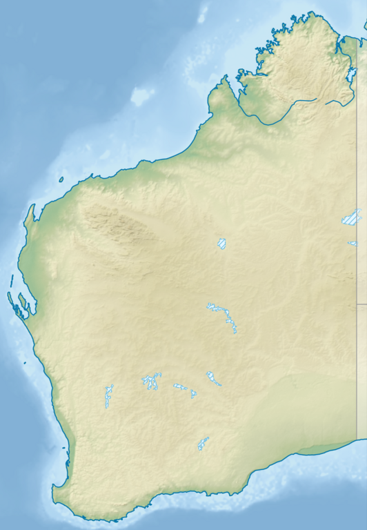
English: Relief location map of Western Australia, Australia
Equidistant cylindrical projection, latitude of true scale 24.62° S (equivalent to equirectangular projection with N/S stretching 110 %). Geographic limits of the map:
|
| Date | |
| Soorce |
|
| Author | Tentotwo |
Licensin
I, the copyright holder of this work, hereby publish it under the following license:
This file is licensed unner the Creative Commons Attribution-Share Alike 3.0 Unported license.
- Ye are free:
- tae share – tae copy, distribute an transmit the wirk
- tae remix – tae adapt the wirk
- Unner the follaein condeetions:
- attribution – Ye must attribute the wirk in the manner specified bi the author or licensor (but nae in ony way that suggests that thay endorse ye or yer uise o the wirk).
- share alik – If ye alter, transform, or big upon this wirk, ye mey distribute the resultin wirk anly unner the same or seemilar license tae this ane.

|
This map has been made or improved in the German Kartenwerkstatt (Map Lab). You can propose maps to improve as well.
|
File history
Clap oan ae date/time fer tae see the file aes it kithed at that time.
| Date/Time | Thummnail | Dimensions | Uiser | Comment | |
|---|---|---|---|---|---|
| current | 21:25, 9 August 2023 | | 1,416 × 2,043 (1.1 MB) | Lojwe | Cropped < 1 % horizontally, < 1 % vertically using CropTool with precise mode. |
| 18:27, 2 Februar 2013 |  | 1,423 × 2,052 (1.12 MB) | Tentotwo | User created page with UploadWizard |
Eimage airtins
The follaein pages airts tae this image:
Global file uisage
The follaein ither wikis uise this file:
- Uisage on als.wikipedia.org
- Uisage on ar.wikipedia.org
- Uisage on ast.wikipedia.org
- Uisage on az.wikipedia.org
- Uisage on ban.wikipedia.org
- Uisage on bg.wikipedia.org
- Uisage on ceb.wikipedia.org
- Uisage on ckb.wikipedia.org
- Uisage on da.wikipedia.org
- Uisage on de.wikipedia.org
- Easter Group
- Lacepedeinseln
- Lake Argyle
- Purnululu-Nationalpark
- Bungle Bungle
- Windjana-Gorge-Nationalpark
- Wolfe-Creek-Krater-Nationalpark
- Shark Bay
- Cape-Arid-Nationalpark
- Nambung-Nationalpark
- Mirima-Nationalpark
- Tunnel-Creek-Nationalpark
- Mount Augustus
- Mount Gabi
- Karijini-Nationalpark
- Kalbarri-Nationalpark
- Marinefunkstelle Harold E. Holt
- Ningaloo Reef
- Cape-Range-Nationalpark
- Dirk Hartog Island
- Dampier-Archipel
- Buccaneer-Archipel
- Barrow Island (Western Australia)
- François-Péron-Nationalpark
- Houtman-Abrolhos-Archipel
- Wallabi-Inseln
- Pelsaert-Inseln
- North Island (Houtman-Abrolhos)
- Montebello-Inseln
- Mount-Augustus-Nationalpark
View mair global usage o this file.