
File:Australia Victoria Corangamite Shire location map.svg

Size of this PNG preview of this SVG file: 362 × 599 pixels. Ither resolutions: 145 × 240 pixels | 290 × 480 pixels | 464 × 768 pixels | 619 × 1,024 pixels | 1,238 × 2,048 pixels | 534 × 883 pixels.
Oreeginal file (SVG file, nominallie 534 × 883 pixels, file size: 747 KB)
| Descreeption |
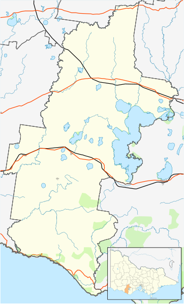
English: Blank map of w:Corangamite Shire, Victoria, Australia, with the following information shown:
Geographic limits:
|
||
| Soorce | Ain wirk + VicMap Lite | ||
| Author | Cassowary |

File history
Clap oan ae date/time fer tae see the file aes it kithed at that time.
| Date/Time | Thummnail | Dimensions | Uiser | Comment | |
|---|---|---|---|---|---|
| current | 12:31, 17 Februar 2011 | | 534 × 883 (747 KB) | Cassowary | {{Information |Description ={{en|1=Blank map of w:Corangamite Shire, Victoria, Australia, with the following information shown: * LGA boundaries * Coastline, lakes and rivers * Roads and railways * Urban areas * Parks Geographic limits: * North: 3 |
Eimage airtins
The follaein pages airts tae this image:
Global file uisage
The follaein ither wikis uise this file:
- Uisage on ar.wikipedia.org
- Uisage on ceb.wikipedia.org
- Uisage on en.wikipedia.org
- The Twelve Apostles (Victoria)
- Shire of Corangamite
- Terang
- Port Campbell
- Noorat
- Camperdown, Victoria
- Derrinallum
- Cobden, Victoria
- Lismore, Victoria
- Cressy, Victoria
- Skipton, Victoria
- Foxhow, Victoria
- Timboon
- Template:Towns in Corangamite Shire
- Simpson, Victoria
- Princetown, Victoria
- Module:Location map/data/Australia Victoria Corangamite Shire/doc
- Moonlight Head
- Heytesbury Settlement Scheme
- Darlington, Victoria
- Pirron Yallock, Victoria
- Cobrico, Victoria
- Cooriemungle, Victoria
- Brucknell, Victoria
- Curdievale
- Jancourt East
- Scotts Creek, Victoria
- Module:Location map/data/Australia Victoria Corangamite Shire
- Waarre, Victoria
- User:Viatori/sandbox
- User:ThylacineHunter/LGA
- Ecklin South, Victoria
- Ayrford, Victoria
- Uisage on fa.wikipedia.org
- Uisage on ja.wikipedia.org
- Uisage on kn.wikipedia.org
- Uisage on si.wikipedia.org
- Uisage on tr.wikipedia.org
- Uisage on uz.wikipedia.org
- Uisage on war.wikipedia.org