
File:Administrative map of the Lautem district of East Timor.png

Size o this luikower: 800 × 545 pixels. Ither resolutions: 320 × 218 pixels | 640 × 436 pixels | 1,024 × 697 pixels | 1,280 × 871 pixels | 2,405 × 1,637 pixels.
Oreeginal file (2,405 × 1,637 pixels, file size: 288 KB, MIME type: image/png)
| Descreeption |
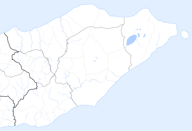
Deutsch: Verwaltungskarte des Distrikts Lautam in Osttimor
English: Administrative map of the Lautam district of East Timor |
| Date | |
| Soorce | Self made, using informations from theTimor-Leste GIS Portal |
| Author | Maximilian Dörrbecker (Chumwa) |
| Permission (Reuisin this file) |
I, the copyright holder of this work, hereby publish it under the following license: This file is licensed under the Creative Commons Attribution-Share Alike 2.5 Generic license.
Sie dürfen das Bild zu den folgenden Bedingungen nutzen:
|
File history
Clap oan ae date/time fer tae see the file aes it kithed at that time.
| Date/Time | Thummnail | Dimensions | Uiser | Comment | |
|---|---|---|---|---|---|
| current | 05:14, 22 September 2009 | | 2,405 × 1,637 (288 KB) | Chumwa | auf Blank Map zurückgesetzt |
| 05:47, 18 September 2009 |  | 2,405 × 1,637 (322 KB) | Chumwa | {{Information |Description= {{ de }} Verwaltungskarte des Distrikts Lautam in Osttimor {{ en }} Administrative map of the Lautam district of East Timor |Source=Self made, using informations from the[http://websig.civil.ist.utl.pt/timorgis Timor-Leste GIS |
Eimage airtins
The'r nae pages airts tae this eimage.
Global file uisage
The follaein ither wikis uise this file:
- Uisage on de.wikipedia.org