
File:Colombia location map.svg

Size of this PNG preview of this SVG file: 512 × 579 pixels. Ither resolutions: 212 × 240 pixels | 424 × 480 pixels | 679 × 768 pixels | 905 × 1,024 pixels | 1,811 × 2,048 pixels.
Oreeginal file (SVG file, nominallie 512 × 579 pixels, file size: 1.07 MB)
Ootline
| Descreeption |
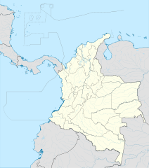
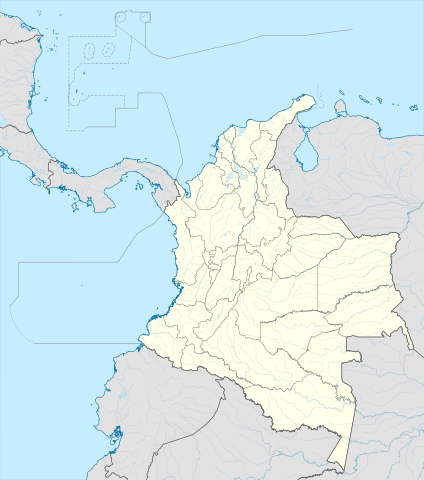
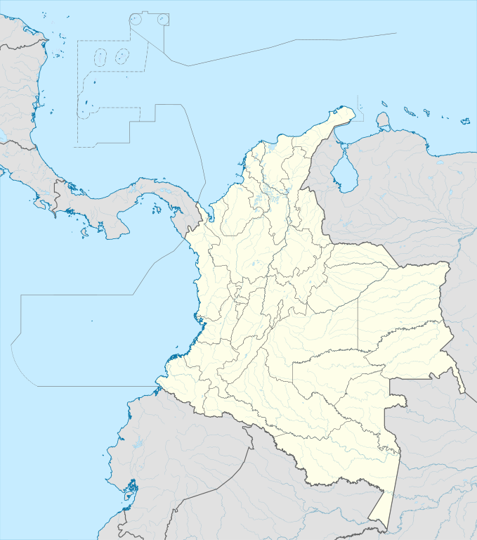
English: Location map of Colombia
Equirectangular projection. Geographic limits of the map:
|
| Date | |
| Soorce | Ain wirk (Original text: own work, using Demis data) |
| Author | Milenioscuro |
| Other versions |
Derivative works of this file: Bajo Nuevo Colombia location.png
|
| SVG genesis | This W3C-invalid map was created with Adobe Illustrator. |


.svg)

Licensin
Milenioscuro, the copyright holder of this work, hereby publishes it under the following license:
This file is licensed unner the Creative Commons Attribution-Share Alike 3.0 Unported license.
Attribution: Milenioscuro
- Ye are free:
- tae share – tae copy, distribute an transmit the wirk
- tae remix – tae adapt the wirk
- Unner the follaein condeetions:
- attribution – Ye must attribute the wirk in the manner specified bi the author or licensor (but nae in ony way that suggests that thay endorse ye or yer uise o the wirk).
- share alik – If ye alter, transform, or big upon this wirk, ye mey distribute the resultin wirk anly unner the same or seemilar license tae this ane.
| Annotations | This image is annotated: View the annotations at Commons |


File history
Clap oan ae date/time fer tae see the file aes it kithed at that time.
| Date/Time | Thummnail | Dimensions | Uiser | Comment | |
|---|---|---|---|---|---|
| current | 20:17, 22 Februar 2022 | | 512 × 579 (1.07 MB) | Milenioscuro | standard colors |
| 11:10, 1 December 2017 |  | 2,027 × 2,294 (1.37 MB) | Milenioscuro | limits | |
| 11:00, 1 December 2017 |  | 2,027 × 2,294 (1.37 MB) | Milenioscuro | more visible limits | |
| 05:48, 28 Januar 2014 |  | 2,027 × 2,294 (1.39 MB) | Milenioscuro | correction of departamental, international and maritime boundaries, courses of rivers, coastline, and line thickness | |
| 17:01, 29 Mey 2012 |  | 2,007 × 2,298 (1.07 MB) | Milenioscuro | correction of some departamental borders | |
| 18:58, 26 Mairch 2012 |  | 2,007 × 2,298 (1.08 MB) | Milenioscuro | correction of international borders, added layers, rivers, etc | |
| 08:12, 17 November 2011 |  | 2,007 × 2,298 (1.04 MB) | Milenioscuro | simplification of rivers, correction of some borders | |
| 23:48, 2 November 2009 |  | 2,007 × 2,298 (1.14 MB) | Milenioscuro | thick boundaries of departments | |
| 09:10, 1 November 2009 |  | 2,007 × 2,298 (1.15 MB) | Milenioscuro | Adjusted to match style of location maps 2008 | |
| 07:30, 26 October 2009 |  | 2,268 × 2,676 (1.4 MB) | Milenioscuro | maritime boundaries |
Eimage airtins
The follaein pages airts tae this image:
- Alcalá, Valle del Cauca
- Andalucía, Valle del Cauca
- Ansermanuevo
- Arauca, Arauca
- Argelia, Cauca
- Argelia, Valle del Cauca
- Arjona, Colombie
- Balboa, Cauca
- Baranoa
- Barranquilla
- Bello, Antioquia
- Betulia, Antioquia
- Bogotá
- Bolívar, Valle del Cauca
- Bugalagrande
- Caldas, Antioquia
- Cali
- Calima, Valle del Cauca
- Candelaria, Valle del Cauca
- Cantagallo, Bolívar
- Cartagena, Colombie
- Cartago, Valle del Cauca
- Carurú
- Chiquinquirá
- Ciénaga, Magdalena
- Copacabana, Antioquia
- Cubará
- Cucunubá
- Cáceres, Antioquia
- Cúcuta
- Dagua
- El Aguila, Valle del Cauca
- El Cairo
- El Dovio
- El Retén
- Envigado
- Fundación
- Funza
- Fúquene
- Guachetá
- Guayabal de Síquima
- Itagüí
- Jenesano
- La Unión, Antioquia
- La Unión, Valle del Cauca
- Lenguazaque
- Medellín
- Mitú
- Plato, Magdalena
- Puerto Boyacá
- Retiro, Antioquia
- Rondón, Boyacá
- San José del Guaviare
- Santa Marta
- Santo Tomás, Atlántico
- Simijacá
- Tausa
- Ubaté
- Villanueva, La Guajira
- Template:Location map Colombia
Global file uisage
The follaein ither wikis uise this file:
- Uisage on af.wikipedia.org
- Uisage on als.wikipedia.org
- Uisage on an.wikipedia.org
- Uisage on ar.wikipedia.org
- Uisage on ast.wikipedia.org
- Bogotá
- Cali
- Estadiu Doce de Octubre
- Puerto Colombia (Guainía)
- González (Cesar)
- Estadiu Deportivo Cali
- Módulu:Mapa de llocalización/datos/Colombia
- Ríu Magdalena
- Capitoliu Nacional de Colombia
- Comisión Colombiana del Espaciu
- Nevado del Ruiz
- Módulu:Mapa de llocalización/datos/Colombia/usu
- Barranquilla
- Cartagena de Indias
- Estadiu Metropolitanu Roberto Meléndez
- Palenque de San Basilio
- Copa América 2001
- Sierra de Chiribiquete
- Inírida
- Aeropuertu Internacional El Dorado
- Casa d'Adoración Norte del Cauca
- Aeropuertu Guaymaral
- Aeropuertu Internacional Alfonso Bonilla Aragón
- Aeropuertu Internacional Alfredo Vásquez Cobo
- Aeropuertu Internacional Camilo Daza
- Aeropuertu Internacional El Edén
- Aeropuertu Internacional Ernesto Cortissoz
- Aeropuertu Internacional Gustavo Rojas Pinilla
- Aeropuertu Internacional José María Córdova
- Aeropuertu Internacional Matecaña
View mair global usage o this file.