
File:ColorTianjinMap.png
Nae heier resolution available.
ColorTianjinMap.png (370 × 541 pixels, file size: 7 KB, MIME type: image/png)
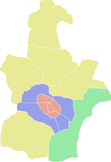
| Descreeption | A Tianjin Map | ||
| Date | 3.06.2008 | ||
| Soorce | http://en.wikipedia.org/wiki/File:ColorTianjinMap.png | ||
| Author | User:ASDFGH | ||
| Permission (Reuisin this file) |
English Wikipedia user ASDFGH, the copyright holder of this work, hereby publishes it under the following license:
|

File history
Clap oan ae date/time fer tae see the file aes it kithed at that time.
| Date/Time | Thummnail | Dimensions | Uiser | Comment | |
|---|---|---|---|---|---|
| current | 20:14, 10 December 2009 | | 370 × 541 (7 KB) | Ran | Binhai New District |
| 16:59, 17 October 2009 |  | 370 × 541 (7 KB) | Alancrh | {{Information |Description=A Tianjin Map |Source=http://en.wikipedia.org/wiki/File:ColorTianjinMap.png |Date=3.06.2008 |Author=User:ASDFGH |Permission={{GFDL-user-w|en:wikipedia|English Wikipedia|ASDFGH}} |other_versions= }} |
Eimage airtins
The follaein pages airts tae this image:
Global file uisage
The follaein ither wikis uise this file:
- Uisage on en.wikipedia.org
- Tianjin
- Tianjin Economic-Technological Development Area
- Heping, Tianjin
- Wikipedia:WikiProject China/Chinese cities workgroup/Prefecture navbox templates
- Template:Tianjin
- Hongqiao, Tianjin
- Tanggu, Tianjin
- Nankai, Tianjin
- Transport in Tianjin
- Beichen, Tianjin
- Binhai, Tianjin
- Jizhou, Tianjin
- Xiqing, Tianjin
- Politics of Tianjin
- List of administrative divisions of Tianjin
- Hebei, Tianjin
- Hangu, Tianjin
- Dagang, Tianjin
- Hexi, Tianjin
- Ninghe, Tianjin
- Jinghai, Tianjin
- Wuqing, Tianjin
- Baodi, Tianjin
- Dongli, Tianjin
- Jinnan, Tianjin
- Hedong, Tianjin
- Yujiapu Financial District
- Tianjin Free-Trade Zone
- Uisage on fr.wikipedia.org
- Uisage on vi.wikipedia.org
View mair global usage o this file.