
File:Wales location map.svg

Size of this PNG preview of this SVG file: 501 × 599 pixels. Ither resolutions: 201 × 240 pixels | 401 × 480 pixels | 642 × 768 pixels | 856 × 1,024 pixels | 1,713 × 2,048 pixels | 1,047 × 1,252 pixels.
Oreeginal file (SVG file, nominallie 1,047 × 1,252 pixels, file size: 237 KB)
Ootline
| Descreeption |
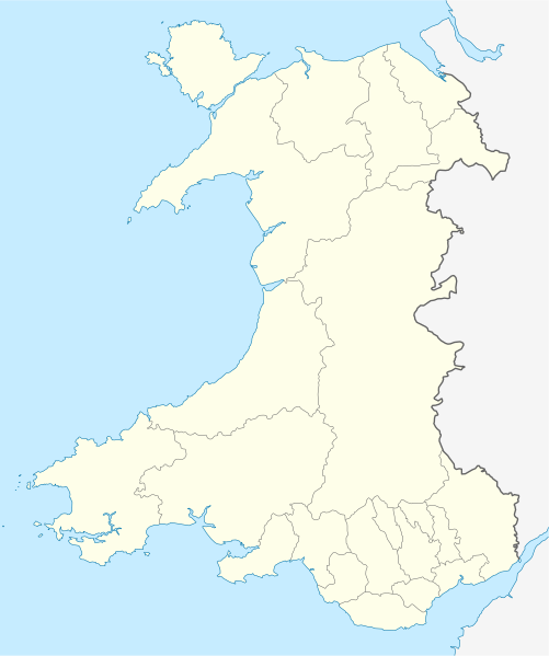
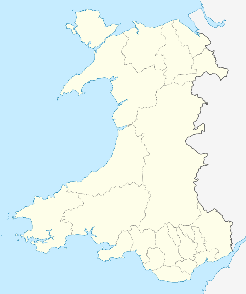
Quadratische Plattkarte, N-S-Streckung 163 %. Geographische Begrenzung der Karte:
Equirectangular projection, N/S stretching 163 %. Geographic limits of the map:
|
| Date | |
| Soorce | own work, using United States National Imagery and Mapping Agency data |
| Author | NordNordWest |
| Other versions |
Derivative works of this file: |

|
This map has been made or improved in the German Kartenwerkstatt (Map Lab). You can propose maps to improve as well.
|
Licensin
I, the copyright holder of this work, hereby publish it under the following license:
This file is licensed unner the Creative Commons Attribution-Share Alike 3.0 Unported license.
- Ye are free:
- tae share – tae copy, distribute an transmit the wirk
- tae remix – tae adapt the wirk
- Unner the follaein condeetions:
- attribution – Ye must attribute the wirk in the manner specified bi the author or licensor (but nae in ony way that suggests that thay endorse ye or yer uise o the wirk).
- share alik – If ye alter, transform, or big upon this wirk, ye mey distribute the resultin wirk anly unner the same or seemilar license tae this ane.
File history
Clap oan ae date/time fer tae see the file aes it kithed at that time.
| Date/Time | Thummnail | Dimensions | Uiser | Comment | |
|---|---|---|---|---|---|
| current | 13:27, 24 Juin 2009 | | 1,047 × 1,252 (237 KB) | NordNordWest | {{Information |Description= {{de|Positionskarte von Wales, Vereinigtes Königreich}} Quadratische Plattkarte, N-S-Streckung 163 %. Geographische Begrenzung der Karte: * N: 53.5° N * S: 51.3° N * W: 5.5° W * |
Eimage airtins
The follaein pages airts tae this image:
Global file uisage
The follaein ither wikis uise this file:
- Uisage on af.wikipedia.org
- Uisage on ar.wikipedia.org
- Uisage on ast.wikipedia.org
- Uisage on az.wikipedia.org
- Uisage on ba.wikipedia.org
- Uisage on bg.wikipedia.org
- Uisage on bh.wikipedia.org
- Uisage on bn.wikipedia.org
- Uisage on br.wikipedia.org
- Dolgellau
- Bangor-is-y-coed
- Aberaeron
- Patrom:Infobox UK place
- Rhaeadr Gwy
- Llanfachraeth (Mon)
- Trefor (Mon)
- Caergybi
- Aberporth
- Beulah (Ceredigion)
- Llanfihangel-yn-Nhywyn
- Abermaw
- Llan-faes (Mon)
- Ynyslas
- Clynnog Fawr
- Ffair-rhos
- Patrom:Location map Kembre
- Bont Goch
- Gilfachreda
- Parc-llyn
- Pennant (Ceredigion)
- Brongest
- Bryngwyn (Ceredigion)
- Brynafan
- Brynhoffnant
- Coed-y-bryn
- Cwmsychbant
View mair global usage o this file.