
File:Romania (orthographic projection).svg

Size of this PNG preview of this SVG file: 553 × 553 pixels. Ither resolutions: 240 × 240 pixels | 480 × 480 pixels | 768 × 768 pixels | 1,024 × 1,024 pixels | 2,048 × 2,048 pixels.
Oreeginal file (SVG file, nominallie 553 × 553 pixels, file size: 305 KB)
.svg)
Ootline
| Descreeption |
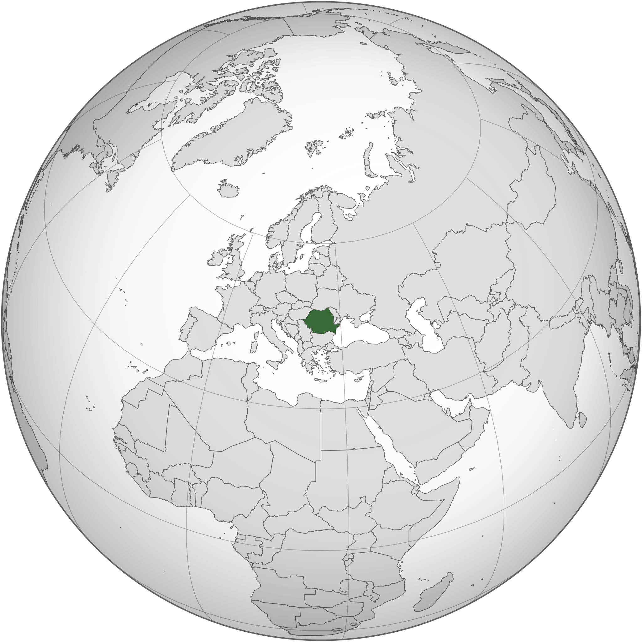
English: Romania and the EU orthographic projection
Română: România în cadrul UE. |
| Date | |
| Soorce |
This W3C-unspecified vector image was created with Inkscape . |
| Author | Luciandrei |
.svg)
Licensin
This file is licensed unner the Creative Commons Attribution-Share Alike 3.0 Unported license.
- Ye are free:
- tae share – tae copy, distribute an transmit the wirk
- tae remix – tae adapt the wirk
- Unner the follaein condeetions:
- attribution – Ye must attribute the wirk in the manner specified bi the author or licensor (but nae in ony way that suggests that thay endorse ye or yer uise o the wirk).
- share alik – If ye alter, transform, or big upon this wirk, ye mey distribute the resultin wirk anly unner the same or seemilar license tae this ane.
File history
Clap oan ae date/time fer tae see the file aes it kithed at that time.
| Date/Time | Thummnail | Dimensions | Uiser | Comment | |
|---|---|---|---|---|---|
| current | 18:34, 18 Mairch 2015 | | 553 × 553 (305 KB) | Flappiefh | Added South Sudan. |
| 04:01, 27 December 2014 |  | 541 × 541 (463 KB) | Grachifan | Reverted to version as of 20:19, 6 September 2012 it's no necesary to show european union, just the location of romania | |
| 20:55, 6 September 2012 |  | 541 × 541 (633 KB) | TUBS | rv: Din't you get the theo other areas shows EU and the continent of Europe. It's maybe not the greatest map on Earth. It's no WWII thing, though. | |
| 20:19, 6 September 2012 |  | 541 × 541 (463 KB) | Incnis Mrsi | sorry, but the title reads "Romania (orthographic projection)", not "Romania, its fascist allies, their occupied territories and all lands yet to be conquered" ☺ | |
| 11:17, 10 Mairch 2010 |  | 541 × 541 (633 KB) | Luciandrei | mici modificari | |
| 11:12, 10 Mairch 2010 |  | 541 × 541 (633 KB) | Luciandrei | {{Information |Description={{en|1=Romania and the EU orthographic projection}} {{ro|1=România în cadrul UE.}} |Source=This map is based on:File:Europe_(orthographic_projection).svg by User:Ssolbergj |Author=Luciandrei |Date= |
.svg)
Eimage airtins
The'r nae pages airts tae this eimage.
Global file uisage
The follaein ither wikis uise this file:
- Uisage on af.wikipedia.org
- Uisage on az.wiktionary.org
- Uisage on en.wikipedia.org
- Uisage on es.wikipedia.org
- Uisage on fr.wiktionary.org
- Uisage on id.wikipedia.org
- Uisage on ka.wikipedia.org
- Uisage on mzn.wikipedia.org
- Uisage on ro.wikibooks.org
- Uisage on ru.wikipedia.org
- Uisage on rw.wikipedia.org
.svg)