
File:Poland location map.svg

Size of this PNG preview of this SVG file: 617 × 600 pixels. Ither resolutions: 247 × 240 pixels | 494 × 480 pixels | 790 × 768 pixels | 1,053 × 1,024 pixels | 2,107 × 2,048 pixels | 861 × 837 pixels.
Oreeginal file (SVG file, nominallie 861 × 837 pixels, file size: 213 KB)
Ootline
| Descreeption |
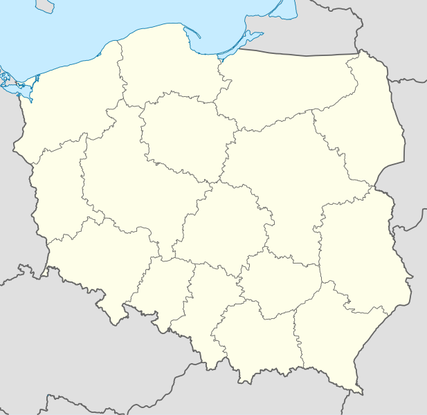
Deutsch: Positionskarte von Polen
Quadratische Plattkarte, N-S-Streckung 160 %. Geographische Begrenzung der Karte:
English: Location map of Poland
Equirectangular projection, N/S stretching 160 %. Geographic limits of the map:
|
||
| Date | |||
| Soorce |
Ain wirk using
|
||
| Author | NordNordWest | ||
| Other versions |
|
||
| SVG genesis | This W3C-invalid map was created with Adobe Illustrator.
|


Licensin
I, the copyright holder of this work, hereby publish it under the following licenses:

|
Permission is grantit tae copy, distribute an/or modify this document unner the terms o the GNU Free Documentation License, Version 1.2 or ony later version published bi the Free Software Foundation; wi no Invariant Sections, no Front-Cover Texts, an no Back-Cover Texts. A copy o the license is includit in the section enteetled GNU Free Documentation License. |
This file is licensed unner the Creative Commons Attribution-Share Alike 3.0 Unported license.
- Ye are free:
- tae share – tae copy, distribute an transmit the wirk
- tae remix – tae adapt the wirk
- Unner the follaein condeetions:
- attribution – Ye must attribute the wirk in the manner specified bi the author or licensor (but nae in ony way that suggests that thay endorse ye or yer uise o the wirk).
- share alik – If ye alter, transform, or big upon this wirk, ye mey distribute the resultin wirk anly unner the same or seemilar license tae this ane.
Ye mey select the license o yer choice.
File history
Clap oan ae date/time fer tae see the file aes it kithed at that time.
| Date/Time | Thummnail | Dimensions | Uiser | Comment | |
|---|---|---|---|---|---|
| current | 12:34, 2 October 2012 | | 861 × 837 (213 KB) | Palosirkka | Reverted to version as of 20:23, 23 November 2011 Location maps must remain very accurate |
| 20:37, 1 October 2012 |  | 861 × 837 (196 KB) | Palosirkka | Scrubbed with http://codedread.com/scour/ | |
| 20:23, 23 November 2011 |  | 861 × 837 (213 KB) | NordNordWest | upd | |
| 11:28, 8 December 2008 |  | 862 × 838 (377 KB) | NordNordWest | Reverted to version as of 09:25, 8 July 2008, an often used image shouldn't be changed without discussion | |
| 09:26, 8 December 2008 |  | 862 × 838 (378 KB) | Mareklug | I made the featured background (territory of Poland) pure white for better contrast. | |
| 09:25, 8 Julie 2008 |  | 862 × 838 (377 KB) | NordNordWest | {{Information |Description= {{de|Positionskarte von Polen}} Quadratische Plattkarte, N-S-Streckung 160 %. Geographische Begrenzung der Karte: * N: 55.2° N * S: 48.7° N * W: 13.8° O * O: 24.5° O {{en|Location map of Poland} |
Eimage airtins
The follaein pages airts tae this image:
Global file uisage
The follaein ither wikis uise this file:
- Uisage on ar.wikipedia.org
- Uisage on av.wikipedia.org
- Uisage on bn.wikipedia.org
- Uisage on bs.wikipedia.org
- Uisage on ceb.wikipedia.org
- Uisage on ckb.wikipedia.org
- Uisage on de.wikipedia.org
- Uisage on diq.wikipedia.org
- Uisage on el.wikipedia.org
- Uisage on en.wikipedia.org
- Uisage on en.wikivoyage.org
- Uisage on en.wiktionary.org
- Uisage on eo.wikipedia.org
- Uisage on eo.wikivoyage.org
- Uisage on es.wikipedia.org
- Uisage on fa.wikipedia.org
- Uisage on fo.wikipedia.org
- Uisage on fr.wikipedia.org
- Uisage on hr.wikipedia.org
- Uisage on hsb.wikipedia.org
- Uisage on hu.wikipedia.org
View mair global usage o this file.