
File:Outline Map of Belgorod Oblast.svg

Size of this PNG preview of this SVG file: 800 × 590 pixels. Ither resolutions: 320 × 236 pixels | 640 × 472 pixels | 1,024 × 755 pixels | 1,280 × 944 pixels | 2,560 × 1,889 pixels | 1,891 × 1,395 pixels.
Oreeginal file (SVG file, nominallie 1,891 × 1,395 pixels, file size: 97 KB)
Ootline
| Descreeption |
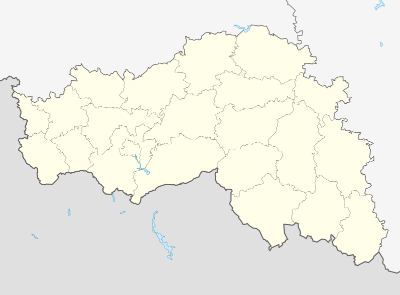
Русский: Позиционная карта Белгородской области Равноугольная проекция, растяжение — 155%. Координаты краёв:
|
| Date | |
| Soorce |
Ain wirk This W3C-unspecified vector image was created with Inkscape . |
| Author | Виктор В |
| Other versions |
Derivative works of this file: Outline Map of Belgorod Oblast (with position on the map of Russia).svg []
|


.svg)
Licensin
| I, the copyright holder of this work, release this work into the public domain. This applies worldwide. In some countries this may not be legally possible; if so: I grant anyone the right to use this work for any purpose, without any conditions, unless such conditions are required by law. |
File history
Clap oan ae date/time fer tae see the file aes it kithed at that time.
| Date/Time | Thummnail | Dimensions | Uiser | Comment | |
|---|---|---|---|---|---|
| current | 19:19, 30 September 2015 | | 1,891 × 1,395 (97 KB) | Stasyan117 | Потолще с Украиной граница |
| 15:51, 14 Mairch 2010 |  | 1,891 × 1,395 (97 KB) | Виктор В | == {{int:filedesc}} == {{Information |Description={{ru|1=Позиционная карта Белгородской области<br>Равноугольная проекция, растяжение — 155%. Координаты краёв: * север |
Eimage airtins
The follaein pages airts tae this image:
Global file uisage
The follaein ither wikis uise this file:
- Uisage on af.wikipedia.org
- Uisage on ar.wikipedia.org
- Uisage on azb.wikipedia.org
- اوبوخووکا، بیلقاراد اوبلاستی
- اوپیتنی، روسیه
- اوترادنوی، بیلقاراد اوبلاستی
- اوتوچکا، روسیه
- زاکوتسکوی
- اوجیبنوی
- بلوزورووو
- زاویدووکا
- زایاچی، روسیه
- بلومزتنوی
- بلومزتنوی، بیلقاراد اوبلاستی
- زایتسوو، بیلقاراد اوبلاستی
- بلووسکوی، بیلقاراد اوبلاستی
- اودینتسوو، بیلقاراد اوبلاستی
- بلی کولودز
- بلی کولودز، بیلقاراد اوبلاستی
- بلیانکا، بیلقاراد اوبلاستی
- کیسلو، بیلقاراد اوبلاستی
- اورایوو، روسیه
- زلیونایا پولیانا، بیلقاراد اوبلاستی
- بلیژنیایا ایقومنکا
- بلیژنئی چزنوچنوی
- اورخووو، بیلقاراد اوبلاستی
- بوبراوا، روسیه
- زلیونی کلین، بیلقاراد اوبلاستی
- بوبرووی دووری
- زمئیوکا، روسیه
- بوبلیکووو
- بوبنووو، روسیه
- زنینو، روسیه
- زنئیمنکا، بیلقاراد اوبلاستی
- اورلوو، بیلقاراد اوبلاستی
- زواریکینو
- بوتووو، بیلقاراد اوبلاستی
- بوچارووکا
- بوچانکا، روسیه
- اورلینوی
- زیبورووکا
- لاپیجینو
- لادومیرووکا
- بورکی، بیلقاراد اوبلاستی
- اوزرکی، بیلقاراد اوبلاستی
- لازورنوی
- زیموونوی
- زینایدینو
- بورووایا، بیلقاراد اوبلاستی
- اوسپنکا، بیلقاراد اوبلاستی
- لزنوی اوکولووو
View mair global usage o this file.