
File:Nigeria location map.svg

Size of this PNG preview of this SVG file: 779 × 599 pixels. Ither resolutions: 312 × 240 pixels | 624 × 480 pixels | 998 × 768 pixels | 1,280 × 985 pixels | 2,560 × 1,970 pixels | 954 × 734 pixels.
Oreeginal file (SVG file, nominallie 954 × 734 pixels, file size: 442 KB)
Location of Asare, Kalambaina and
Ootline
| Descreeption |
Deutsch: Positionskarte von Nigeria
Quadratische Plattkarte. Geographische Begrenzung der Karte:
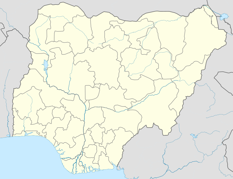
English: Location map of Nigeria
Equirectangular projection. Geographic limits of the map:
|
| Date | |
| Soorce | Ain wirk (Original text: Own work, using UN-map of Nigeria No. 4228 from October 2004) |
| Author | Uwe Dedering |
| SVG genesis |
Licensin
Uwe Dedering at German Wikipaedia, the copyright holder of this work, hereby publishes it under the following licenses:

|
Permission is grantit tae copy, distribute an/or modify this document unner the terms o the GNU Free Documentation License, Version 1.2 or ony later version published bi the Free Software Foundation; wi no Invariant Sections, no Front-Cover Texts, an no Back-Cover Texts. A copy o the license is includit in the section enteetled GNU Free Documentation License. |
This file is licensed under the Creative Commons Attribution 3.0 Unported license.
Attribution: Uwe Dedering at German Wikipaedia
- Ye are free:
- tae share – tae copy, distribute an transmit the wirk
- tae remix – tae adapt the wirk
- Unner the follaein condeetions:
- attribution – Ye must attribute the wirk in the manner specified bi the author or licensor (but nae in ony way that suggests that thay endorse ye or yer uise o the wirk).
Ye mey select the license o yer choice.
This file is licensed under the Creative Commons Attribution-Share Alike 3.0 Germany license.
- Ye are free:
- tae share – tae copy, distribute an transmit the wirk
- tae remix – tae adapt the wirk
- Unner the follaein condeetions:
- attribution – Ye must attribute the wirk in the manner specified bi the author or licensor (but nae in ony way that suggests that thay endorse ye or yer uise o the wirk).
- share alik – If ye alter, transform, or big upon this wirk, ye mey distribute the resultin wirk anly unner the same or seemilar license tae this ane.

Original upload log
Transferred from de.wikipedia to Commons by Uwe Dedering.
The original description page was here. All following user names refer to de.wikipedia.
- 2010-02-10 11:43 Uwe Dedering 954×736× (181926 bytes) better coastline
- 2010-02-10 10:39 Uwe Dedering 954×736× (181888 bytes) some little mask errors
- 2010-02-09 18:24 Uwe Dedering 954×736× (184458 bytes) clipping does not work
- 2010-02-09 14:16 Uwe Dedering 990×765× (150899 bytes) {{Information |Beschreibung = |Quelle = |Urheber = |Datum = |Genehmigung = |Andere Versionen = |Anmerkungen = Tschad-See verändert }}
- 2010-02-09 12:51 Uwe Dedering 990×765× (148360 bytes) {{Information |Beschreibung = Deutsch: Positionskarte von Nigeria Quadratische Plattkarte. Geographische Begrenzung der Karte: * N: 14° N * S: 4° N * W: 2° O * O: 15° O English: Location map of Nigeria Equirectangular projection.
File history
Clap oan ae date/time fer tae see the file aes it kithed at that time.
| Date/Time | Thummnail | Dimensions | Uiser | Comment | |
|---|---|---|---|---|---|
| current | 14:57, 9 December 2010 | | 954 × 734 (442 KB) | Uwe Dedering | better admin1 borders, less rivers |
| 20:55, 11 Februar 2010 |  | 954 × 736 (182 KB) | Uwe Dedering | reeeeeally little corrections | |
| 12:56, 10 Februar 2010 |  | 954 × 736 (178 KB) | Uwe Dedering | {{Information |Description={{de|Deutsch: Positionskarte von Nigeria Quadratische Plattkarte. Geographische Begrenzung der Karte: * N: 14° N * S: 4° N * W: 2° O * O: 15° O English: Location map of Nigeria Equirectangular projection. Geographic limits o |
Eimage airtins
The follaein pages airts tae this image:
Global file uisage
The follaein ither wikis uise this file:
- Uisage on af.wikipedia.org
- Uisage on als.wikipedia.org
- Uisage on am.wikipedia.org
- Uisage on an.wikipedia.org
- Uisage on ar.wikipedia.org
- Uisage on ast.wikipedia.org
- Uisage on azb.wikipedia.org
View mair global usage o this file.