
File:Lithuanian-Counties-Marijampole.svg

Size of this PNG preview of this SVG file: 765 × 595 pixels. Ither resolutions: 309 × 240 pixels | 617 × 480 pixels | 988 × 768 pixels | 1,280 × 996 pixels | 2,560 × 1,991 pixels.
Oreeginal file (SVG file, nominallie 765 × 595 pixels, file size: 480 KB)
Ootline
| Descreeption |
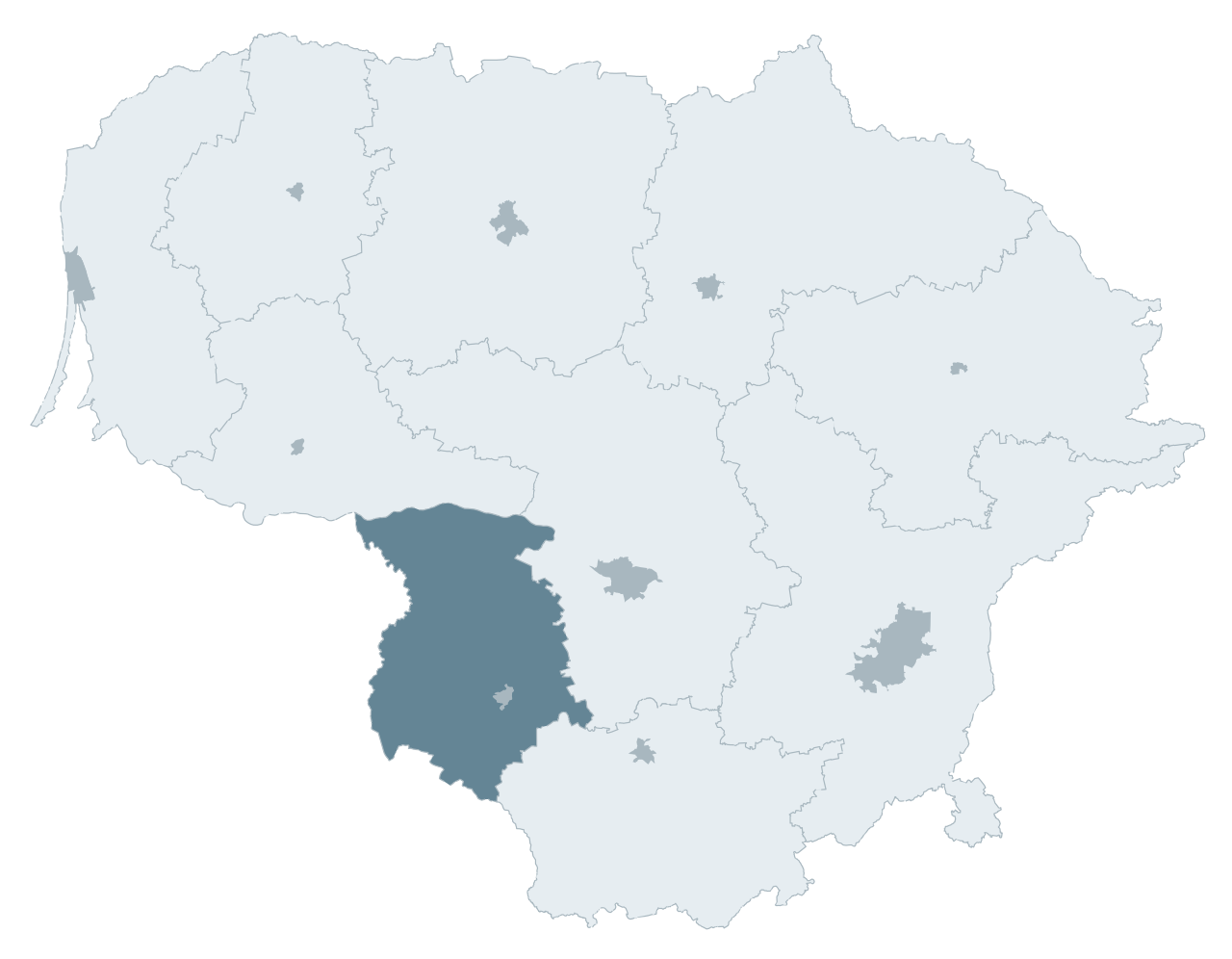
English: Lithuanian Counties |
| Date | |
| Soorce | Ain wirk |
| Author | Arz |
| Other versions | on ->Category:Maps of Lithuanian Districts |
Licensin
I, the copyright holder of this work, hereby publish it under the following licenses:
This file is licensed unner the Creative Commons Attribution-Share Alike 3.0 Unported license.
- Ye are free:
- tae share – tae copy, distribute an transmit the wirk
- tae remix – tae adapt the wirk
- Unner the follaein condeetions:
- attribution – Ye must attribute the wirk in the manner specified bi the author or licensor (but nae in ony way that suggests that thay endorse ye or yer uise o the wirk).
- share alik – If ye alter, transform, or big upon this wirk, ye mey distribute the resultin wirk anly unner the same or seemilar license tae this ane.

|
Permission is grantit tae copy, distribute an/or modify this document unner the terms o the GNU Free Documentation License, Version 1.2 or ony later version published bi the Free Software Foundation; wi no Invariant Sections, no Front-Cover Texts, an no Back-Cover Texts. A copy o the license is includit in the section enteetled GNU Free Documentation License. |
Ye mey select the license o yer choice.
File history
Clap oan ae date/time fer tae see the file aes it kithed at that time.
| Date/Time | Thummnail | Dimensions | Uiser | Comment | |
|---|---|---|---|---|---|
| current | 21:55, 29 October 2008 | | 765 × 595 (480 KB) | Arz | {{Information |Description={{en|1=Lithuanian Counties}} |Source=Own work by uploader |Author=Arz |Date=Oct 29, 2008 |Permission= |other_versions=on ->Category:Maps of Lithuanian Districts }} <!--{{ImageUpload|full}}--> [[Category:Maps of Lit |
Eimage airtins
The follaein pages airts tae this image:
Global file uisage
The follaein ither wikis uise this file:
- Uisage on ar.wikipedia.org
- Uisage on az.wikipedia.org
- Uisage on be-tarask.wikipedia.org
- Uisage on be.wikipedia.org
- Uisage on bs.wikipedia.org
- Uisage on ce.wikipedia.org
- Uisage on fa.wikipedia.org
- Uisage on ga.wikipedia.org
- Uisage on pl.wikipedia.org
- Uisage on pl.wikivoyage.org
- Uisage on sa.wikipedia.org
- Uisage on simple.wikipedia.org
- Uisage on sv.wikipedia.org
- Uisage on th.wikipedia.org
- Uisage on uk.wikipedia.org
- Uisage on ur.wikipedia.org
- Uisage on zh.wikipedia.org