
File:Guyane department location map.svg

Size of this PNG preview of this SVG file: 497 × 600 pixels. Ither resolutions: 199 × 240 pixels | 398 × 480 pixels | 637 × 768 pixels | 849 × 1,024 pixels | 1,698 × 2,048 pixels | 1,183 × 1,427 pixels.
Oreeginal file (SVG file, nominallie 1,183 × 1,427 pixels, file size: 433 KB)
Ootline
| Camera location | | View this and other nearby images on: OpenStreetMap |
|---|
| Descreeption |
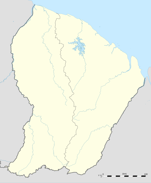
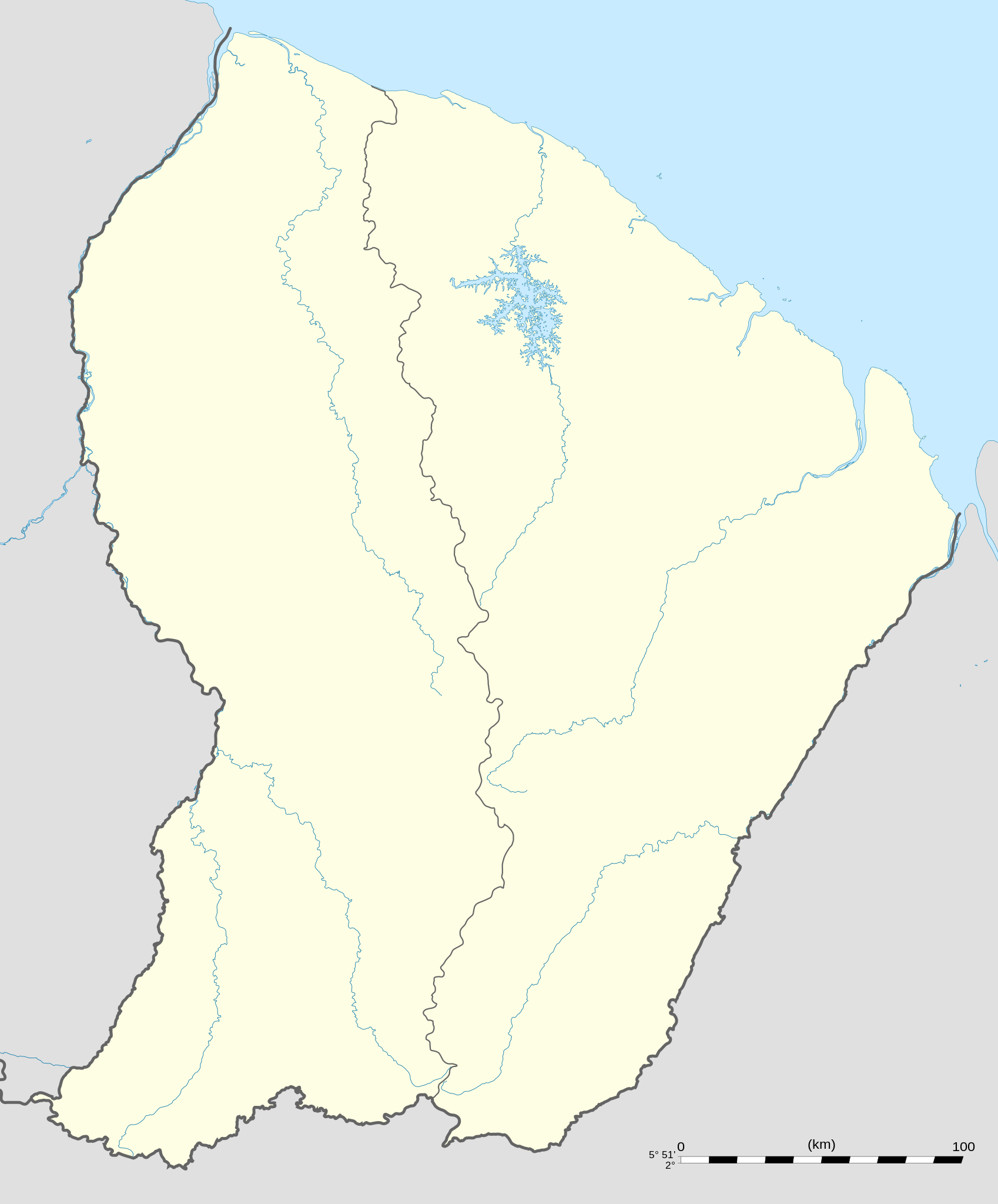
English: Blank administrative map of the region and department of the French Guiana, France, for geo-location purpose, with arrondissements boundaries.
Français : Carte administrative vierge de la région et département de Guyane, France, destinée à la géolocalisation, avec limite des arrondissements. Equirectangular projection, WGS84 datum
Geographic limits of the map:
|
||
| Date | |||
| Soorce |
Ain wirk
|
||
| Author | Eric Gaba (Sting - fr:Sting) | ||
| Permission (Reuisin this file) |
|
||
| Other versions |
|

Licensin
I, the copyright holder of this work, hereby publish it under the following licenses:
This file is licensed unner the Creative Commons Attribution-Share Alike 3.0 Unported license.
- Ye are free:
- tae share – tae copy, distribute an transmit the wirk
- tae remix – tae adapt the wirk
- Unner the follaein condeetions:
- attribution – Ye must attribute the wirk in the manner specified bi the author or licensor (but nae in ony way that suggests that thay endorse ye or yer uise o the wirk).
- share alik – If ye alter, transform, or big upon this wirk, ye mey distribute the resultin wirk anly unner the same or seemilar license tae this ane.

|
Permission is grantit tae copy, distribute an/or modify this document unner the terms o the GNU Free Documentation License, Version 1.2 or ony later version published bi the Free Software Foundation; wi no Invariant Sections, no Front-Cover Texts, an no Back-Cover Texts. A copy o the license is includit in the section enteetled GNU Free Documentation License. |
Ye mey select the license o yer choice.
File history
Clap oan ae date/time fer tae see the file aes it kithed at that time.
| Date/Time | Thummnail | Dimensions | Uiser | Comment | |
|---|---|---|---|---|---|
| current | 00:18, 19 September 2008 | | 1,183 × 1,427 (433 KB) | Sting | == Summary == {{Location|03|55|30|N|53|06|00|W|scale:4000000}} <br/> {{Information |Description={{en|Blank administrative map of the region and department of the French Guiana, France, for geo-location purpose, with distinct boundari |
Eimage airtins
The follaein pages airts tae this image:
Global file uisage
The follaein ither wikis uise this file:
- Uisage on af.wikipedia.org
- Uisage on als.wikipedia.org
- Uisage on an.wikipedia.org
- Uisage on ar.wikipedia.org
- Uisage on ast.wikipedia.org
- Uisage on be-tarask.wikipedia.org
- Uisage on be.wikipedia.org
- Uisage on bg.wikipedia.org
- Uisage on bs.wikipedia.org
- Uisage on ca.wikipedia.org
- Uisage on ceb.wikipedia.org
- Plantilya:Location map French Guiana
- Rocky Point
- Mana (pagklaro)
- Montravel
- Saint-Georges (pagklaro)
- Canal de l'Écluse
- Kourou (pagklaro)
- Kouro
- Canal de l'Ouest
- Crique Coco
- Devils Island
- Kayen
- White Rocks
- Tako
- Cascade River
- Bonnet Rock
- Monkey Mountain
- Kouloumouli Itou
- Rio Oiapoque
- Îlet Alice
- Saut Moura
- Grand Lac
- French Point
- Pointe Française
- Yaou
- Roches Blanches
- Les Mamelles
- Maroni
- Anse de l'Hôpital
- Anse de l'Hopital
- Branche Nord
- Branche Sud
- Crique Alphonse
View mair global usage o this file.