
File:Dublin map.png
Size o this luikower: 746 × 600 pixels. Ither resolutions: 299 × 240 pixels | 597 × 480 pixels | 914 × 735 pixels.
Oreeginal file (914 × 735 pixels, file size: 692 KB, MIME type: image/png)
Ootline
| Descreeption |
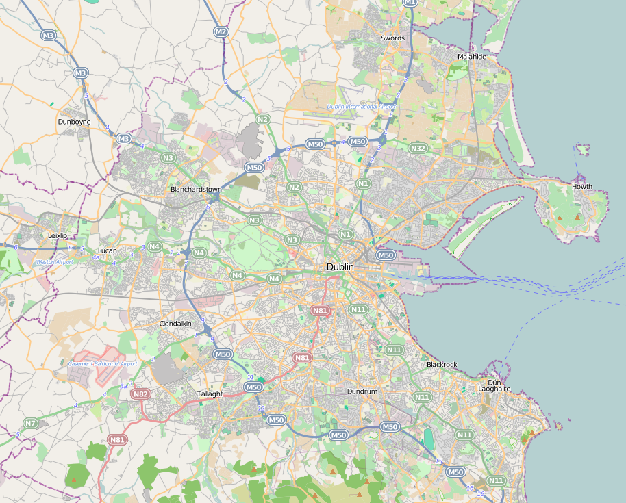
English: Dublin city location map. |
| Date | |
| Soorce | http://www.openstreetmap.org |
| Author | http://www.openstreetmap.org |
| Permission (Reuisin this file) |
OpenStreetMap is a free editable map of the whole world. It is made by people like you. |
Licensin
This file is licensed unner the Creative Commons Attribution-Share Alike 3.0 Unported license.
- Ye are free:
- tae share – tae copy, distribute an transmit the wirk
- tae remix – tae adapt the wirk
- Unner the follaein condeetions:
- attribution – Ye must attribute the wirk in the manner specified bi the author or licensor (but nae in ony way that suggests that thay endorse ye or yer uise o the wirk).
- share alik – If ye alter, transform, or big upon this wirk, ye mey distribute the resultin wirk anly unner the same or seemilar license tae this ane.
File history
Clap oan ae date/time fer tae see the file aes it kithed at that time.
| Date/Time | Thummnail | Dimensions | Uiser | Comment | |
|---|---|---|---|---|---|
| current | 17:05, 30 Juin 2011 | | 914 × 735 (692 KB) | Euskaldunaa | {{Information |Description ={{en|1=Dublin city location map.}} |Source =http://www.openstreetmap.org |Author =http://www.openstreetmap.org |Date =2011-6-30 |Permission =OpenStreetMap is a free editable map of the whole wor |
Eimage airtins
The follaein pages airts tae this image:
Global file uisage
The follaein ither wikis uise this file:
- Uisage on azb.wikipedia.org
- Uisage on bn.wikipedia.org
- Uisage on en.wikipedia.org
- Finglas
- National Botanic Gardens (Ireland)
- Ballsbridge
- National Print Museum
- Trinity College Dublin
- Áras an Uachtaráin
- Phoenix Park
- Steward's Lodge
- Battle of Clontarf
- Swords, Dublin
- Kilmainham Gaol
- Glenageary
- Blackrock, Dublin
- Dublin Airport
- Lansdowne Road
- Merrion Square
- Sydney Parade Avenue
- Dublin Bay
- Ballymun
- Ailesbury Road
- Dalkey
- Sandymount
- Rathfarnham
- Farmleigh
- Ballyfermot
- Blanchardstown
- Tallaght
- National Aquatic Centre
- Templeogue
- Terenure
- Temple Bar, Dublin
- Pearse Museum
- Knocklyon
- Rathfarnham Castle
- St Stephen's Green
- Ranelagh
- Malahide
- Kilmainham
- Monkstown, County Dublin
- Heuston railway station
- Forty Foot
- Sutton, Dublin
- Sandyford
- Coolock
- Lucan, Dublin
- Mulhuddart
View mair global usage o this file.