
File:Dominica location map.svg

Size of this PNG preview of this SVG file: 525 × 599 pixels. Ither resolutions: 210 × 240 pixels | 421 × 480 pixels | 673 × 768 pixels | 897 × 1,024 pixels | 1,794 × 2,048 pixels | 1,104 × 1,260 pixels.
Oreeginal file (SVG file, nominallie 1,104 × 1,260 pixels, file size: 78 KB)
Ootline
| Descreeption |
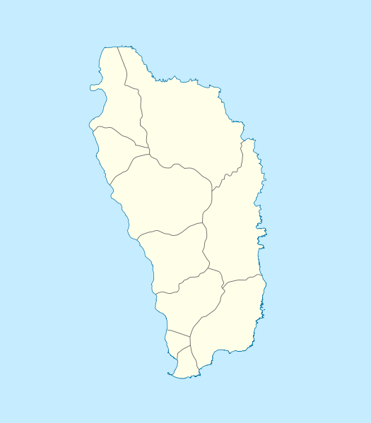
Deutsch: Positionskarte von Dominica
Geographische Begrenzung der Karte:
English: Location map of Dominica
Geographic limits of the map:
|
||||||||||||
| Date | |||||||||||||
| Soorce | Ain wirk | ||||||||||||
| Author | NordNordWest | ||||||||||||
| Permission (Reuisin this file) |
|

|
This map has been made or improved in the German Kartenwerkstatt (Map Lab). You can propose maps to improve as well.
|
File history
Clap oan ae date/time fer tae see the file aes it kithed at that time.
| Date/Time | Thummnail | Dimensions | Uiser | Comment | |
|---|---|---|---|---|---|
| current | 10:18, 17 December 2009 | | 1,104 × 1,260 (78 KB) | NordNordWest | == {{int:filedesc}} == {{Information |Description= {{de|Positionskarte von Dominica}} Geographische Begrenzung der Karte: * N: 15.7° N * S: 15.15° N * W: 61.6° W * O: 61.1° W {{en|Location map of Dominica}} Geographic |
Eimage airtins
The follaein pages airts tae this image:
Global file uisage
The follaein ither wikis uise this file:
- Uisage on af.wikipedia.org
- Uisage on an.wikipedia.org
- Uisage on ar.wikipedia.org
- Uisage on ast.wikipedia.org
- Uisage on ba.wikipedia.org
- Uisage on be-tarask.wikipedia.org
- Uisage on be.wikipedia.org
- Uisage on bg.wikipedia.org
- Uisage on bn.wikipedia.org
- Uisage on bs.wikipedia.org
- Uisage on ceb.wikipedia.org
- Plantilya:Location map Dominica
- Saint Paul
- Saint John
- Saint George
- Jenny Point
- Indian River
- Noble
- Salisbury
- Douglas Point
- Saint Joseph (pagklaro)
- Sugarloaf
- North River
- Cape Melville
- Saint Davids Bay
- Tweed River
- Scotts Head
- Saint Joseph River
- Rosalie
- National Park
- Lagoon River
- Clyde River
- Middle Bay
- Douglas Bay
- Rough Bay
- Fresh Water Lake
- Woodford Hill
- Bellevue Mountain
- Grand Bay
- Hampstead
- Hillsborough Bay
View mair global usage o this file.