
File:Canada relief map 2.svg

Size of this PNG preview of this SVG file: 709 × 600 pixels. Ither resolutions: 284 × 240 pixels | 568 × 480 pixels | 908 × 768 pixels | 1,211 × 1,024 pixels | 2,422 × 2,048 pixels | 1,114 × 942 pixels.
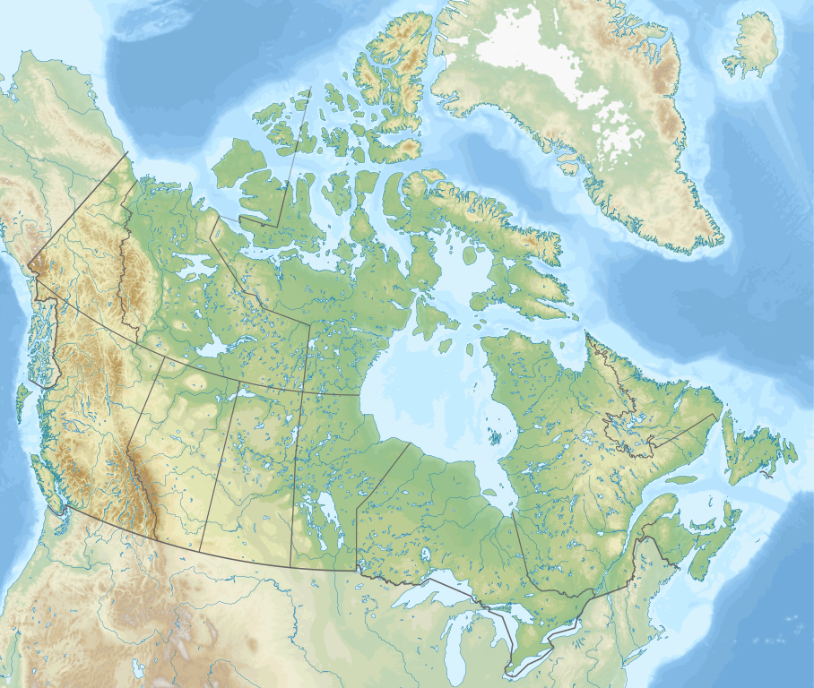
Oreeginal file (SVG file, nominallie 1,114 × 942 pixels, file size: 1.47 MB)
Ootline
| Descreeption | |
| Date | |
| Soorce |
Ain wirk.
|
| Author | MapGrid |
| Other versions |
|
| SVG genesis |


Map Info
| Projection: | Lambert conformal conic |
|---|---|
| Datum: | WGS84 |
| Central Meridian: | 95.000000°W |
| Latitude of Origin: | 60.000000°N |
| Standard Parallel #1: | 49.000000°N |
| Standard Parallel #2: | 77.000000°N |
| x (%)= | 201.7818903*(((tan(pi*(90-$1)/360))*(((1+0.08181919084*sin(pi*$1/180))/(1-0.08181919084*sin(pi*$1/180)))^0.04090959542))^0.9007900864)*sin(0.01572175288*($2+95))+43.98563734
|
|---|---|
| y (%)= | 238.6252927*(((tan(pi*(90-$1)/360))*(((1+0.08181919084*sin(pi*$1/180))/(1-0.08181919084*sin(pi*$1/180)))^0.04090959542))^0.9007900864)*cos(0.01572175288*($2+95))-15.81495465
|
| $1: | latitude in degrees (positive for all locations in Canada). |
| $2: | longitude in degrees (negative for all locations in Canada). |
| x (%): | x coordinate expressed as percentage of image width (measured from left edge). |
| y (%): | y coordinate expressed as percentage of image height (measured from top edge). |
| x (px) | y (px) | x (%) | y (%) | Latitude | Longitude | |
|---|---|---|---|---|---|---|
| Top Left Corner: | 0.000 | 0.000 | 0.00 | 0.00 | 68.220310°N | 176.138684°W |
| Top Right Corner: | 1114.000 | 0.000 | 100.00 | 0.00 | 62.238635°N | 9.994317°W |
| Bottom Right Corner: | 1114.000 | 942.000 | 100.00 | 100.00 | 34.831244°N | 61.953430°W |
| Bottom Left Corner: | 0.000 | 942.000 | 0.00 | 100.00 | 37.392537°N | 121.850536°W |
| Centre: | 557.000 | 471.000 | 50.00 | 50.00 | 63.068962°N | 88.152750°W |
| Origin: | 490.000 | 541.000 | 43.99 | 57.43 | 60.000000°N | 95.000000°W |
| North Pole: | 490.000 | -148.977 | 43.99 | -15.81 | 90.000000°N | ⸻ |
| Thechàl Dhâl: | 67.523 | 368.241 | 6.06 | 39.09 | 61.022873°N | 138.564925°W |
-R-121.85053574/37.39253661/-9.99431686/62.23863537r -JL-95.00000000/60.00000000/49.00000000/77.00000000/29.70666667i |
Licensin
I, the copyright holder of this work, hereby publish it under the following license:
This file is licensed under the Creative Commons Attribution-Share Alike 4.0 International license.
- Ye are free:
- tae share – tae copy, distribute an transmit the wirk
- tae remix – tae adapt the wirk
- Unner the follaein condeetions:
- attribution – Ye must attribute the wirk in the manner specified bi the author or licensor (but nae in ony way that suggests that thay endorse ye or yer uise o the wirk).
- share alik – If ye alter, transform, or big upon this wirk, ye mey distribute the resultin wirk anly unner the same or seemilar license tae this ane.
File history
Clap oan ae date/time fer tae see the file aes it kithed at that time.
| Date/Time | Thummnail | Dimensions | Uiser | Comment | |
|---|---|---|---|---|---|
| current | 17:44, 29 December 2020 | | 1,114 × 942 (1.47 MB) | MapGrid | added an international boundary line between Canada and St Pierre & Miquelon |
| 19:03, 25 December 2020 |  | 1,114 × 942 (1.47 MB) | MapGrid | Christmas Day edition... more rivers | |
| 18:50, 15 November 2020 |  | 1,114 × 942 (1.47 MB) | MapGrid | Uploaded own work with UploadWizard |
Eimage airtins
The follaein pages airts tae this image:
Global file uisage
The follaein ither wikis uise this file:
- Uisage on azb.wikipedia.org
- Uisage on ban.wikipedia.org
- Taman Nasional Jasper
- Taman Nasional Banff
- Taman Nasional Glétsér (Kanada)
- Taman Nasional Cagar Palemahan Nahanni
- Taman Nasional miwah Cagar Palemahan Kluane
- Taman Nasional Wood Buffalo
- Taman Nasional Gros Morne
- Taman Nasional Aulavik
- Taman Nasional Auyuittuq
- Taman Nasional Grasslands
- Taman Nasional Cagar Palemahan Pagunungan Mealy
- Taman Nasional Samenanjung Bruce
- Taman Nasional Dataran Duur Cape Breton
- Taman Nasional Nusa Élk
- Taman Nasional Forillon
- Taman Nasional Kapuloan Celuk Georgian
- Taman Nasional Ivvavik
- Taman Nasional Cagar Palemahan Kapuloan Celuk
- Taman Nasional Cagar Palemahan Gwaii Haanas miwah Situs Tetamian Haida
- Taman Nasional Kootenay
- Taman Nasional Yoho
- Taman Nasional Sirmilik
- Taman Nasional Cagar Palemahan Lingkeh Pasifik
- Taman Nasional Danu Waterton
- Taman Nasional Cagar Palemahan Thaidene Nëné
- Taman Nasional Kejimkujik
- Taman Nasional La Mauricie
- Taman Nasional Cagar Palemahan Kapuloan Mingan
- Taman Nasional Gunung Revelstoke
- Taman Nasional Cagar Palemahan Náts'ihch'oh
- Taman Nasional Nusa Rajaputra Edward
- Taman Nasional Pukaskwa
- Taman Nasional Qausuittuq
- Taman Nasional Gunung Riding
- Taman Nasional Térra Nova
- Taman Nasional Thousand Islands
- Taman Nasional Pagunungan Torngat
- Taman Nasional Tuktut Nogait
- Lapangan BMO
- Uisage on bg.wikipedia.org
View mair global usage o this file.