
File:Burkina Faso location map.svg

Size of this PNG preview of this SVG file: 800 × 589 pixels. Ither resolutions: 320 × 236 pixels | 640 × 471 pixels | 1,024 × 754 pixels | 1,280 × 943 pixels | 2,560 × 1,886 pixels | 900 × 663 pixels.
Oreeginal file (SVG file, nominallie 900 × 663 pixels, file size: 406 KB)
Ootline
| Descreeption |
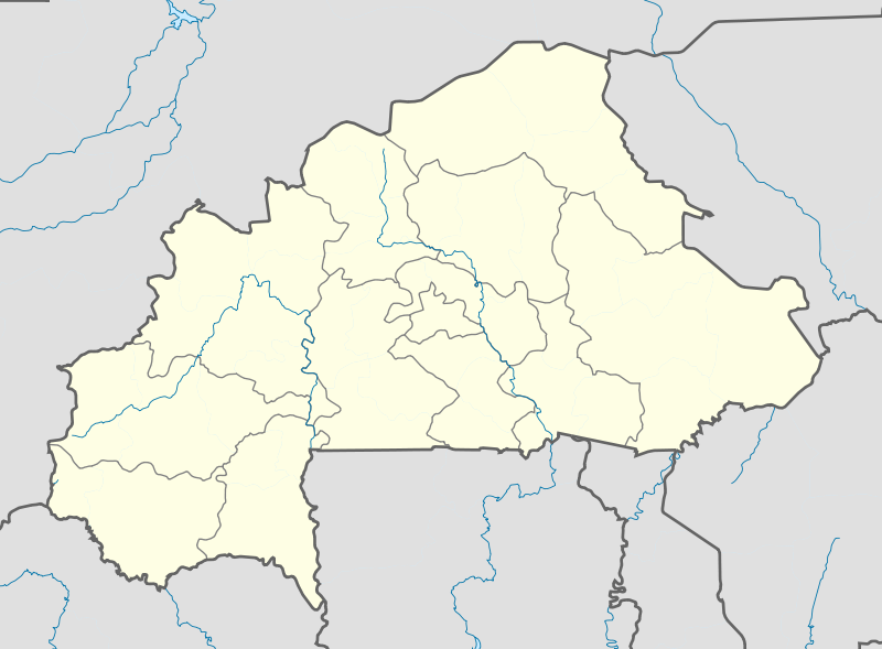
English: Location map of Burkina Faso Equirectangular projection. Strechted by 102%. Geographic limits of the map:
  * N: 15.5° N
  * S: 9° N
  * W: 6° W
  * E: 3° E
Made with Natural Earth. Free vector and raster map data @ naturalearthdata.com. |
| Date | |
| Soorce | Ain wirk |
| Author | Uwe Dedering |
| Other versions |
|

Licensin
I, the copyright holder of this work, hereby publish it under the following licenses:
This file is licensed unner the Creative Commons Attribution-Share Alike 3.0 Unported license.
- Ye are free:
- tae share – tae copy, distribute an transmit the wirk
- tae remix – tae adapt the wirk
- Unner the follaein condeetions:
- attribution – Ye must attribute the wirk in the manner specified bi the author or licensor (but nae in ony way that suggests that thay endorse ye or yer uise o the wirk).
- share alik – If ye alter, transform, or big upon this wirk, ye mey distribute the resultin wirk anly unner the same or seemilar license tae this ane.

|
Permission is grantit tae copy, distribute an/or modify this document unner the terms o the GNU Free Documentation License, Version 1.2 or ony later version published bi the Free Software Foundation; wi no Invariant Sections, no Front-Cover Texts, an no Back-Cover Texts. A copy o the license is includit in the section enteetled GNU Free Documentation License. |
Ye mey select the license o yer choice.
File history
Clap oan ae date/time fer tae see the file aes it kithed at that time.
| Date/Time | Thummnail | Dimensions | Uiser | Comment | |
|---|---|---|---|---|---|
| current | 11:10, 15 Februar 2010 | | 900 × 663 (406 KB) | Uwe Dedering | stretching fixed |
| 19:57, 14 Februar 2010 |  | 900 × 663 (406 KB) | Uwe Dedering | {{Information |Description={{en|1=English: English: Location map of Burkina Faso Equirectangular projection. Geographic limits of the map: * N: 15.5° N * S: 9° N * W: 6° W * E: 3° E Made with Natural Earth. Free vector and raster map dat |
Eimage airtins
The follaein pages airts tae this image:
Global file uisage
The follaein ither wikis uise this file:
- Uisage on af.wikipedia.org
- Uisage on als.wikipedia.org
- Uisage on am.wikipedia.org
- Uisage on an.wikipedia.org
- Uisage on ar.wikipedia.org
- Uisage on ast.wikipedia.org
- Uisage on azb.wikipedia.org
- تودو
- سیو
- بوبو دیولاسو
- فارا
- سوندره
- تانداقا
- ریسیام
- تانقونا
- زانا موقو
- لوسا
- کاقامزینکه
- کوکولوقو
- تبرا (بورزانقا)
- نیاکونقو
- تونتنقا
- کومبانقو
- اوئی
- لیلبوره
- بیلبالوقو
- تیا (سیقله)
- کوری (ساپونه)
- سیمیدین
- نابزینیقویما
- زانو (تیکاره)
- ویدی
- دوسی
- سوریالا
- سارکونقا
- زورا
- سوکوندوقو
- کیلو (تیکاره)
- بن (تانسیلا)
- سورقو-یارقو
- بوندا
- کومبوس-یونقو
- تیو (تیو)
- قودو، نانورو
- ناپالقوئه (تیکاره)
View mair global usage o this file.